
Summary: hike the second half of the section in 6H from 6 to 12:30PM. First climb up to invisible Mount Wolf and then sharply down to route 112 and back to the car.
05:13 – I woke up in Eliza Brook shelter. Birds are already talking. River is still there with a strong audible presence. During this night the sky was clear with lots of stars and lunar crescents for the first half of the night. It was a warmer night – probably around +5°C. I slept very well. I got up 3 times during the night – at 22:00, 01:17 and 03:31. At 4 am it is already light, so I was tempted to start breaking camp then and there.
06:06 – walked 0.0 – start the hike. My fingers are exposed to the cold.
06:27 I am crossing under some power lines
06:44 – walked 0.9 mi -Reel Brook Trail junction. I am taking bright yellow jacket off.
 |
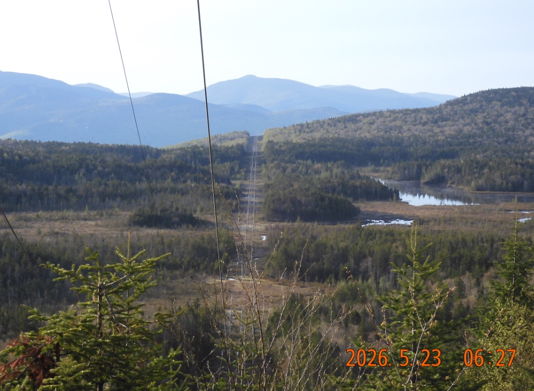 |
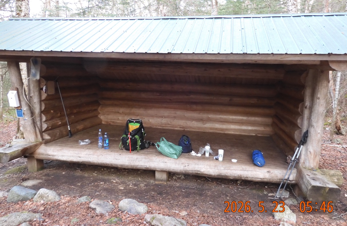
| 05:46 -There are a lot of thought and preparation goes into packing the backpack. IT is do so that on the trail everything finds its unique place and purpose. Nothing extra. | 06:27 – Trail goes under power lines that a good landmark to link the map with the real world |
08:35 – the trail is littered with freshly fallen spruce trees that are blocking the trail. The trees broke off high in the air. Is it winter wind damage? And all the trees that have fallen are fresh trees in their prime. Shocking. So many Christmas trees were wasted here all over the trail.
The last 0.4 mi to the top on Wolf Mountain was ridiculous. The trail goes as if it is blind -without visible gaining and elevation. The slope is sharp, so the feet are sliding sideways. Dosens of trees are blocking the way. And it is unclear how can trail jump on top of the ridge
08:35 – 09:03 – walked 2.72 miles – elev. 3950 – 4.6 mi to go – I am on top of the Wolf Mountain – there is no view here – all overgrown. And there is no sign for the summit.
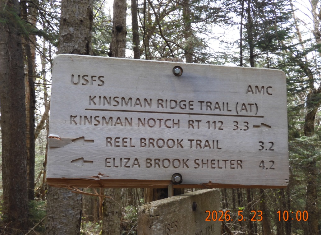
10:00 – walked 4 mi – Gordon Pond Trail – this was a part of old Appalachian Trail. Finally,
On a steep climb it is getting too hot. I am taking off underpants.
 |
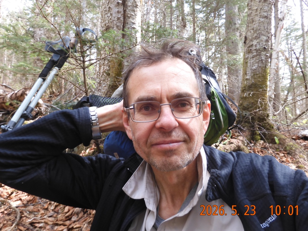 |
| By 10AM I am just over the half way mark on the trail. 4.2 mi hiked, 3.3 mi to go. And the Wolf mountain is behind me now. | Everybody is happy on the last day of hiking. It is mostly down from here. |
11:06 – walked 5.16 mi – elev. 2515 – there are 2.1 to go.
12:02 – walked 6.57 mi – only 0.6 to go.
12:29 – walked 7.18 – I am emerging back to civilization – route 112 with
12:33 ODO 143.5 – arrive back Beaver Brook parking lot on Route 112 where my car was waiting
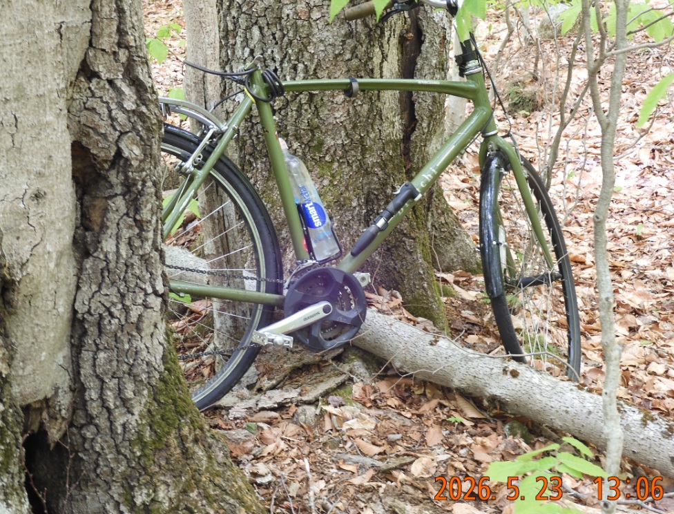
13:02 ODO 154.6 – arrive at Liberty Springs Trailhead Parking to collect my bike from the woods
14:40 ODO 229.9 – I am at NH Liquor and Wine Outlie treat area. 66 mike to go home.
 |
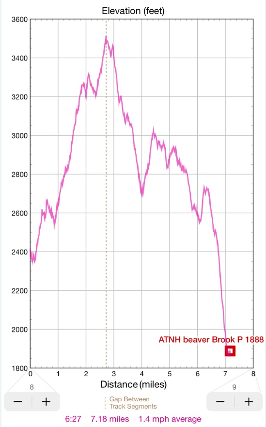 |
| 13:06 – I drive back to Crawford Notch to pickup the bike hidden in the woods. There were no rains, so it is nice and dry. | From 6 to 9AM it was mostly climbing up and from 9AM to 12:30PM – mostly down. |
15:55 ODO 295.1 – arrive home in a light traffic
After unpacking – we went to Bertucci’s on Center/Galen Str. with a $20 coupon.
Navigate through the List
- 01 2026-05 Preparations for the trip one (2026/05/15)
- 02 2026-05-16 SA ME from Route 17 to AT on Pleasant Mount Rd (2026/05/16)
- 03 2026-05-17 SU ME on AT and Bemis Trail and without a trail (2026/05/17)
- 04 2026-05-18 MO ME return to bike and ride under a surprise rain (2026/05/18)
- 05 2026-05 ME short AT trip lessons and consequences (2026/05/19)
- 01 AT NH 2026-05 second trip preparation (2026/05/20)
- 02 2026-05-21 THU - jump into action mid-day (2026/05/21)
- 03 2026-05-22 FRI - first half of the AT section (2026/05/22)
- 04 2026-05-23 SAT - second half of the AT section (2026/05/23)
- 05 2026-05 Lessons of the second May trip (2026/05/24)
Be the first to comment