8 miles from Brassie Brook shelter to The Hemlocks shelter.
05:31 wake up at and start gathering things. I am in a hammock hanging across the shelter. It is not raining for the moment. It is nice and warm inside the cocoon, and there is no desire to get up
06:20 – I am already on the move. The goal for today is only 8 miles, but I would need to climb over 3 mountains.
 |
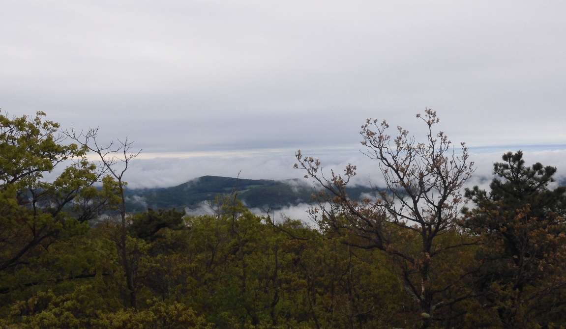 |
| Connecticut style signs at a large trail junction minutes from Brassie Brook shelter | View from Bear Mountain – the highest point in Connecticut – 2316 ft. Two more climbs are set for today. |
07:30 – EVEL 2316′ – Bear Mtn – the highest point in CT. Next will be a sharp slippery descent to the CT/MA border. I wouldn’t even notice or observe
08:02 – ELEV ~1500′ – Sages Ravine – crossing into MA, but the official CT section of AT is still on.
08:14 – 09:00 – I sit down on a tree root and have breakfast.
Shortly after I resumed the walk, I fell and hit the right knee. It was painful, but the acute pain quickly went away. However, the residual pain will return upon every rest and restart.
09:24 – official end on CT and start of MA section of AT. cross
10:34 – 11:30 – big stop on top of a big unassuming vet rock where I placed my backpack. I sit on a protruding root that is semi-dry and do Duolingo – I am on a day 1999.
14:46 – ELEV 2603′ – I am on top of Mount Everett. It is cold, rainy and visibility no more than 100 yards. Additionally, it is more or less OK to climb up, but the way down is very slippery and dangerous. So far, for the whole day, I’ve met 6 lady hikers and 4 men.
15:15 – a short, unmarked side trail leads to an unexpected stone shelter where there are two tiny signs meaning No fires and No camping. Just a hideout from the weather. And there is a lady with a dog there waiting for her husband to return from Mount Everett.
15:45 – the hike for the day is complete. I am at The Hemlocks shelter. This is a large shelter with 4 bunks and additional space in the hanging attic. The beauty is in the covered space where a picnic table comfortable sits and people can cook and eat protected from the rain. Very good!
|
|
 |
| The Hemlocks shelter after 3 climbs, endless rain and only 8 miles of hike | Cooking on ethanol fuel is easy – a few minutes longer than on gas, but a whole lot lighter. |

17:20 – There is a weak cell signal – two bars, but not enough to be reliable. I was able to go out into the rain a bit off the shelter and pick another bar and complete my Internet duties for the day.
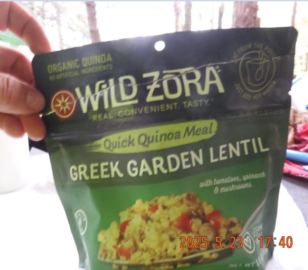
17:40 – The water is clear in a string, but has a bitter even rotten taste, but I won’t notice it till tomorrow. Today, while cooking my Wild Zora Greek Garden Lentil and my tea, I didn’t notice the unpleasant water taste. In the comments in FarOut APP, there is a warning to watch out for streams being contaminated with cattle waste.
18:35 I am already in the hammock. IT is raining. The fellow hiker as able to call his wife and son, but not enough signal for the Internet.
19:22 I have everything on. It is still raining. Tomorrow I am aiming to do 14 miles, but on much flatter terrain.
19:39 – lights out and go to sleep
Navigate through the List
- 2025 CT to MA Appalachian Trail trip preparation (2026/05/21)
- Day 1 - 2025-05-22 Thursday - start the hike from Salisbury (2026/05/22)
- Day 2 - 2025-05-23 Friday - cross into MA (2026/05/23)
- Day 3 - 2025-05-24 Saturday - hike 14 miles to be in the hut (2026/05/24)
- Day 4 - 2025-05-25 Sunday - hike 21.7 miles to a cabin (2026/05/25)
- Day 5 - 2025-05-26 Monday- bike back to car (2026/05/26)
- May 2025 AT trip - lessons and consequences (2026/05/27)
Be the first to comment