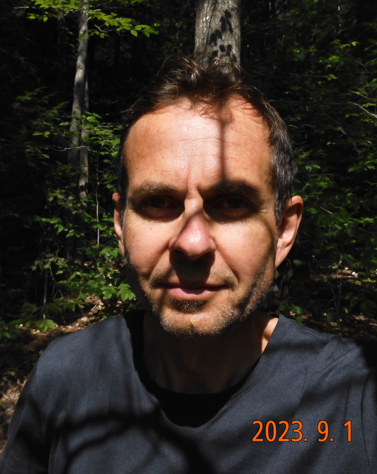
Summary: hike 15.8 miles from Moxie Bald shelter over forest road bypath to Lake Hebron and Doughty Ponds.
05:46 – wake up in the hammock. There are already plenty of voices around me. The morning light is beginning to shine on the horizon.
 |
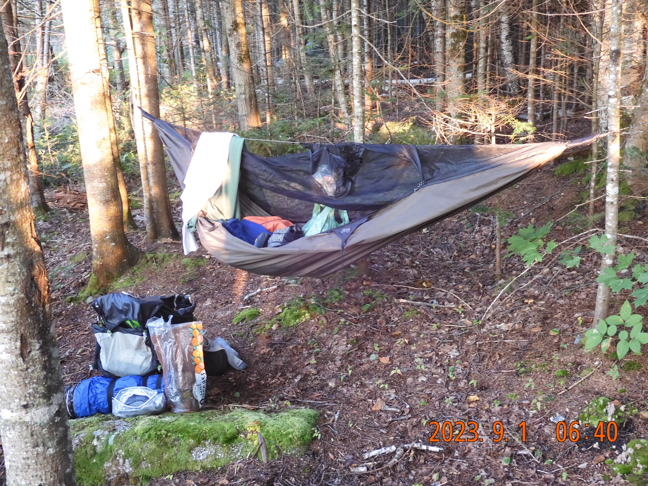 |
| Wake up by the water and get the instant energy boost | All this expensive stuff fits into a tiny backpack |
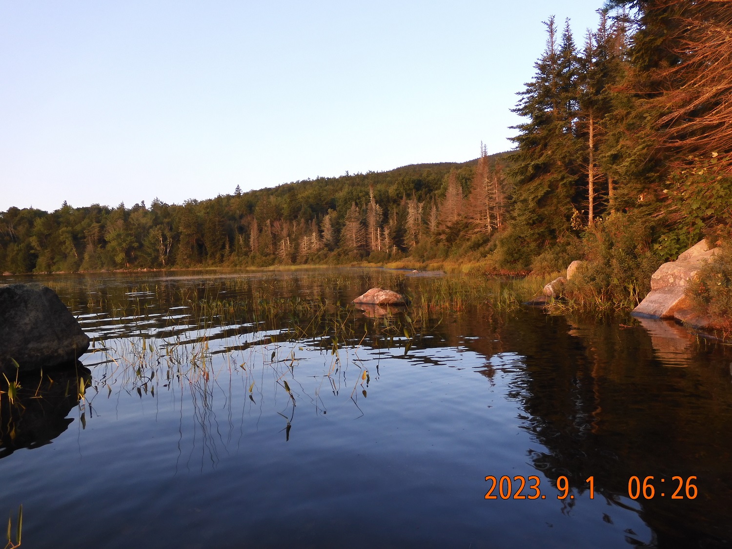
06:28 – I am sitting on the lake shore and observing the rising sun. It is chilly outside. A lot of hikers including the students have already left.
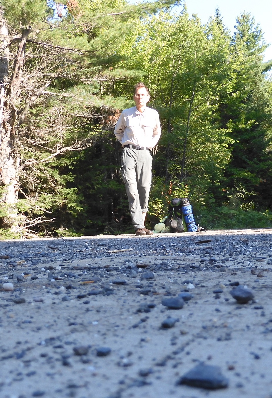
07:00 I begin the hike
08:00 first wet river crossing of the day. I rolled my pants before going across, but not high enough. The pants got wet in the river, but soon they will be dry again.
08:54- 09:46 I’ve reached the bridge where I am planning to have my breakfast. 4 mi completed today. iPhone shows battery charge at 83%.
My breakfast is a mixture of Grape Nuts, dried fruits, and cold water.
This is a memorable stop because I stopped and smelled the roses for a change. I spread my things on bridge boards. I had time to cut my nails on my feet to prevent any discomfort. I had time to enjoy the sun, to think about hiking and the road ahead.
10:10 I’ve reached the Blanchard camp area where I stayed in July 2019.
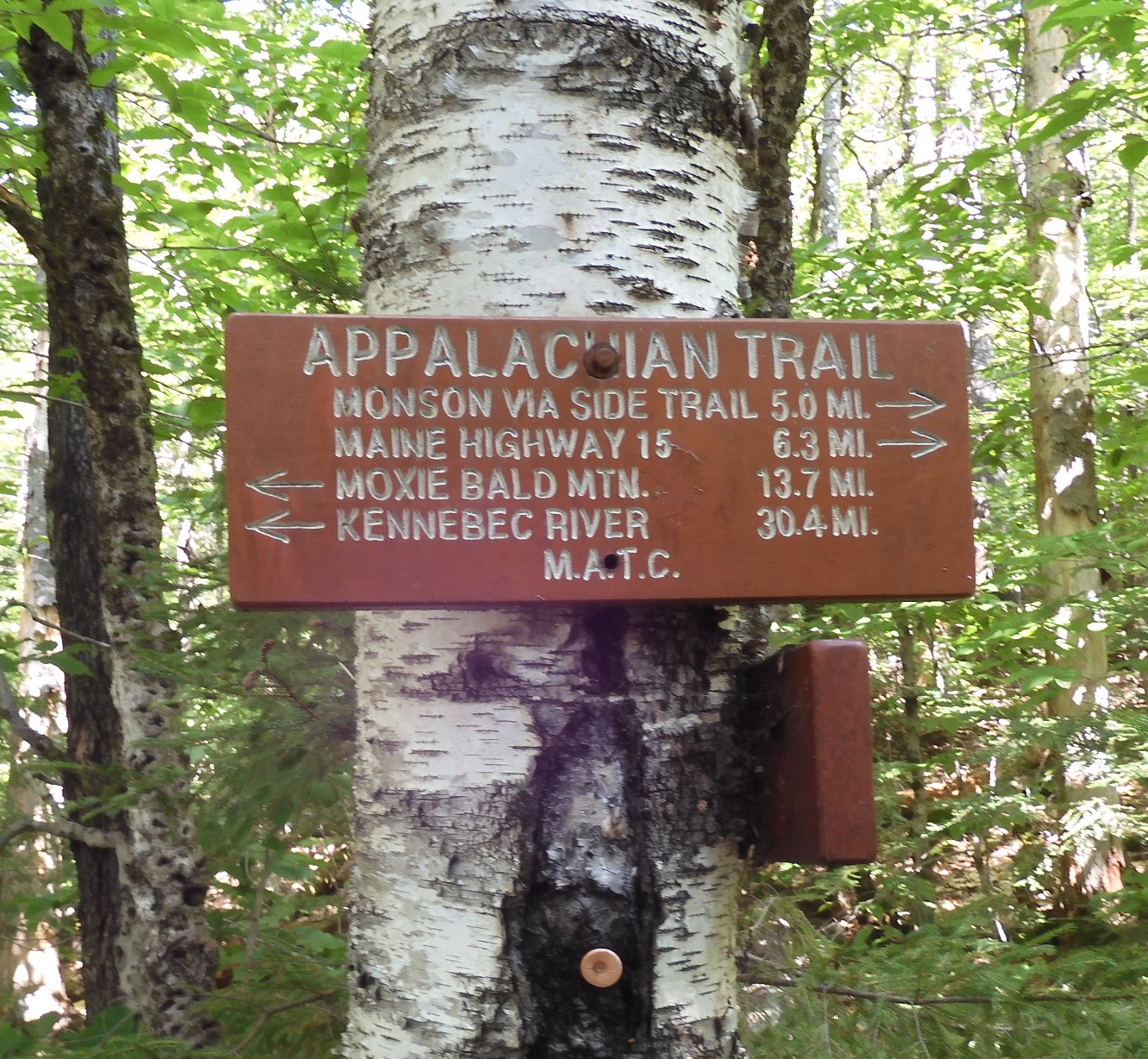
From this point, I will swerve from the trail to take a bypass on the road. The possibility of a road bypass was discovered at home. Why repeat multiple river-crossings on the section that I already completed 4 years ago? I could see new things and discover some new ways by taking the road bypass.
 |
 |
| Taking time on the sunny side of the bridge. By 9AM it is already warm and perfect time to be on the trail. Why no one sweeps here? | On a quite forest road – Perkins Rd. (Abbot, ME) there is a modest memorial. Why here? What was the story? Was it a snowmobile accident? |
10:46 – 11:16 – 2 mi completed on the road, 7 mi total hike today. I am at the high point of the road – about 1300′. The forest road here is fine, but two bridges are weak and close to collapse. The road will soon approach the river, and I will search for a crossing point to return on the trail on the other side of the river. Otherwise, I would have to make a significant loop to get to a bridge connecting to Shirley Rd.
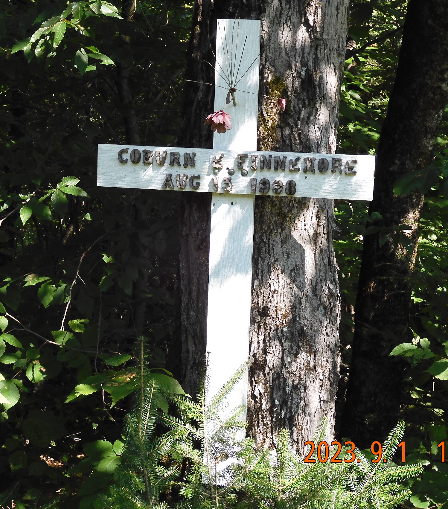
11:33 After an hour of moderate climb up. I am passing a cross and memorial for Coburn Earle Finnemore, Jr. who lived for 69 years from August 28, 1928, to August 13, 1998. Only later – already at home – I’d learned that this person shared a birthday with some other persona in this story. Why his memorial would be placed here on a quiet road (Taylor Rd.) I do not know. This road has no traffic, and no tire tracks. Most likely it is only used in winter by snowmobiles.
11:57 – 12:15 I am descending on a steep slope from the road to the river. Then, I take a very caution crossing at the place, where safe crossing is possible. Then some meandering along the riverbank, a dive into the forest, navigating further away from the river, and finally intercepting the trail via dried up brook.
12:41 – 13:33 I’ve reached the East Branch Piscataquis River. The crossing is wet, but only knee deep. The river is wide and calm here. I see a lot of hikers from the shelter where we stayed together the night before. While I am lounging, they are starting to move on, and we are never going to see each other again.
 |
 |
| Out of the shadows emerge the forest creatures. What a great idea it was to reserve huge chunks of land and forest for a public use. | I crossed Kennebec River last trip (in May) on a ferry. Now I am approaching a 100-mile wilderness at Monson. |
13:53 I am crossing a big road – Shirley-Blanchard Rd. with AT parking
15:38 I see a shortcut road to Monson. This is long awaited spot for many NoBos. Just a few miles down the road there is the Shaw’s – Shaw’s Hiker Hostel – a dream motel where a lot of hikers will spend a night before entering 100-mile wilderness – the last big obstacle before the Katahdin. At Monson. I am 3 mi pass Blanchard-Shirley Rd. and 3.3 mi away from highway 15/6. Now the trail will go up and up (1590′) till I’ve got cell signal to appear for the first time today. I was able to do Duolingo and learn about my deductible check from Travelers insurance.
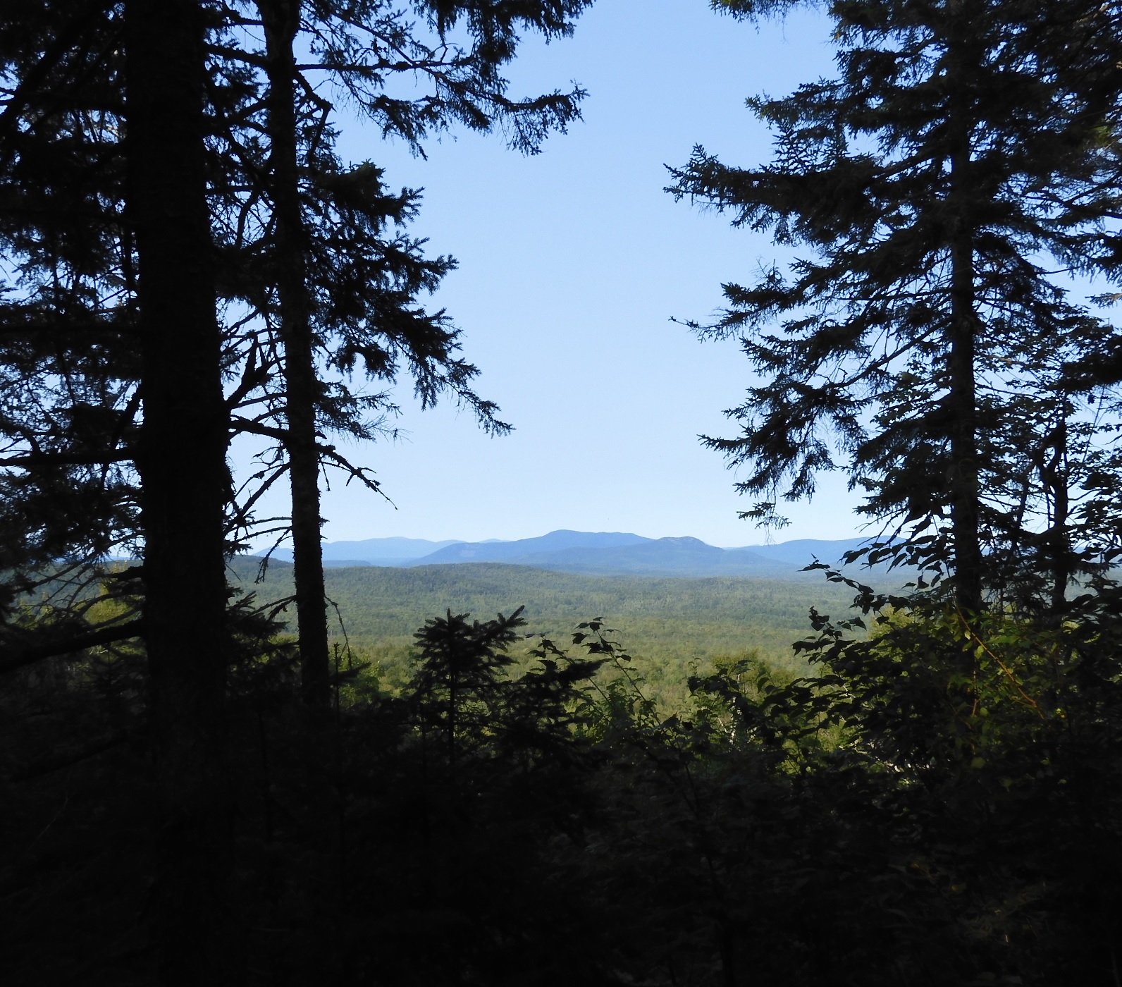
16:48 I force myself to take a few steps on a side trail to see the view. Nothing special, but at this point you are always trying to guess which one of the tiny blimps on the horizon is Katahdin Mountain.
 |
 |
| It is hard to force yourself to enjoy the surrounding when you are close to a destination for that day. But you could miss a gem. | Last time I flew over this landmark. Tonight it will be my camp. Nothing spectacular, but a good secluded spot with a water nearby. |
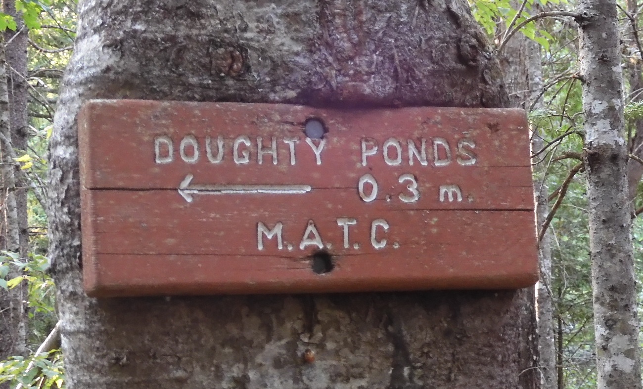
17:12 I’ve reached a short side trail to Doughty Ponds
18:30 cooking in progress, hammock is hanging, sun is shining.
18:57 I am eating my soup. Sun is already hiding behind the forest on the other side of the pond. The waterbirds singing all around as if talking to each other. I am all alone in the world. Me and invisible bid songs.
19:07 I know I am about 3 mi ahead of schedule today (ahead from a planned stop at lake Hebron).
19:39 I am curled into the hammock. It is warm in the forest today. I did not check the cell signal. iPhone charged back to 95% from a power bank. The charging battery level went down to 81%. Tomorrow the trail will be mostly flat. The food cravings at this point include Thai food, Subway sandwich and French fries. The legs are performing strongly, the coccyx is not in pain. The headache is very minor if any. Among irrational worries is only that furnace could break in the middle of the winter. During cold months we will go Dominican Republic and then to Florida for a month, but Lira needs to extend her passport first that nowadays takes 11-13 weeks.
 |
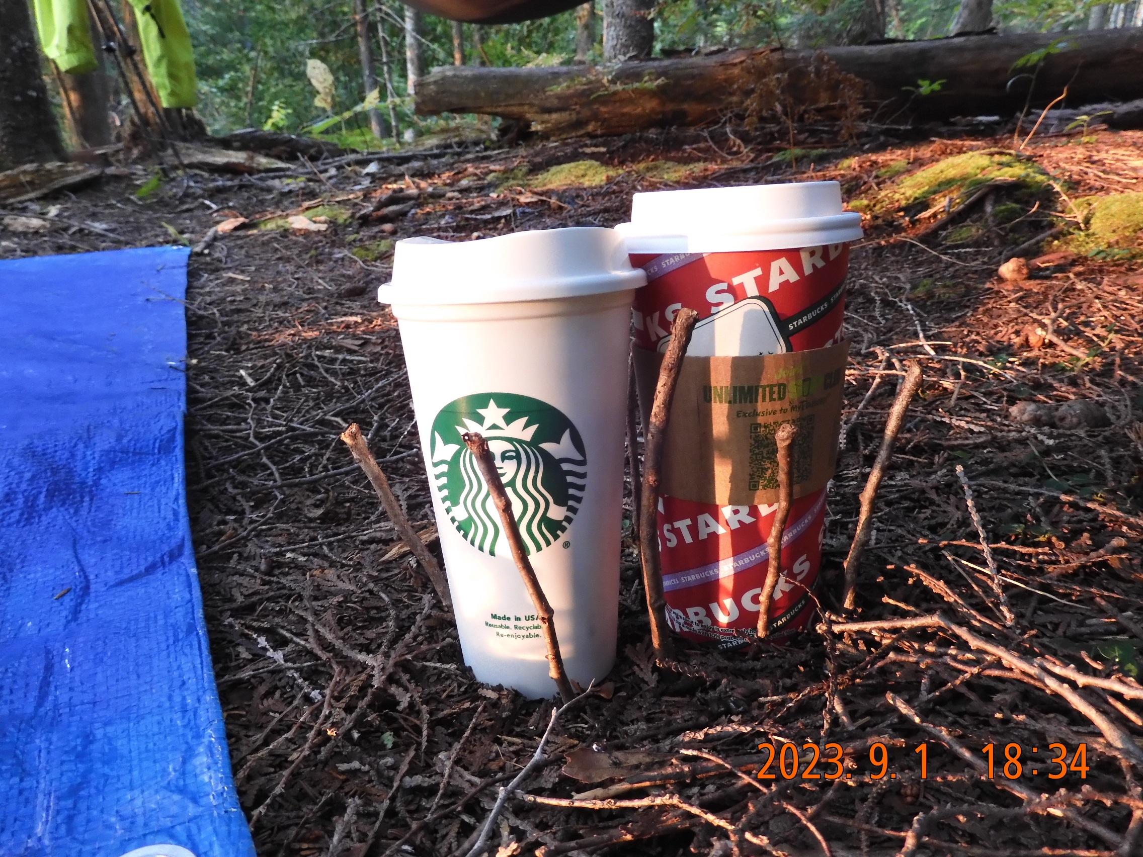 |
| A lot of planning goes into each trip. But components are the same every time – sleep, eat, charge and hydrate. | It is a challenge to keep your pots and pans from toppling over. To keep them straight on an uneven forest floor I use small sticks. |
19:57 Outside is very dark, but I can see a bright ribbon of water that reflects the sky. We are expecting a bright moon – every night on this trip. The delay with car insurance deductible check is possible if they will try to collect money from the other insurance.
20:00 I took 2 bypasses so far. The idea is that I do not have to exactly repeat the steps on the trail taken in 2019. I can take a significant shortcut to emerge from the forest very close to the bike. It is very quiet in the forest right now. Completed 15,79 mi today – it is possibly a record for me. Today I took several wet river crossings that require rolling the pants and removing the socks, but not the sandals. Only 7.5 pages remain in this tiny notebook. If the notebook runs out, I can write on the back side of paper maps. That’s it. It is time to sleep now – 20:09.
Navigate through the List
- 00 AT 2023 Sep - Preparation for the trip (2025/08/30)
- 01 2023-08-31 TH - Taking on wilderness one mile at a time (2025/08/31)
- 02 2023-09-01 FR – The same AT section with a new attitude (2025/09/01)
- 03 2023-09-02 SA – the Wilson Falls are spectacular (2025/09/02)
- 04 2023-09-03 SU – take a raw shortcut to the bike (2025/09/03)
- 05 2023-09-04 MO - crisp morning ride all in one sitting (2025/09/04)
- 06 Summary of the September 2023 trip (2025/09/05)
Be the first to comment