
Summary: hike 7.9 mi from Imp shelter over a series of Carter peaks and over Carter dome to Carter Notch Hut and climb Wildcat Mountain to get away from rules and regulations
05:53 early wake – this night is number 16 night in the wild this hiking season. During the night I arose five times (21, 22:30 23:30, 01:30 and 02:30) to make various adjustments to the hammock, the rope underneath and to the rainfly. The wind was strong and noisy.
07:24 it took extra-long (1h 24 min) to complete double and triple points sessions on Duolingo. I was trying to pack while doing the lessons, but it is frustrating. The weather is very ominous – strong wind and sky covered with rugged clouds of different shades of gray.
08:05 start the hike using the backway shortcut as yesterday. In fifty yards I am on the trail.
While going south on AT I encounter many hikers from yesterday’s dinner time under a tarp. They all used the main official side trail, and it is a significant loop.
08:20 only now – full 15 min after departure, and after many tedious ups and downs I finally reached the sign indication 0.3 mi side trail to Imp shelter. It was a good call not to use this main entrance and use a hidden shortcut instead.
The next section of the trail up until 9am feels like a guilty pleasure – I am gaining elevation smoothly, imperceptibly. I can even see the knob of a mount that would need to climb. Then suddenly and finally the trail begins to go straight up from 3700′ to 4500 in half a horizontal mile that took one hour to climb.
09:13 hiked 1.4 /8.8 mi. Elev. 3888′. Remaining 0.5 to Carter North, 6.1 to the hut and 11.9 mi to the end. I remember little about this section of the hike. The memory was full of events from previous day. The sky is grayish, but sun makes some breakthroughs from time to time.
09:43 climb becomes serious and strenuous. If I turn my head around, there are multiple views opening towards peaks and valleys that I walked yesterday. Even the Nikon battery was exhausted. Strange, it is too early, but I have a replacement.
10:15 Ok. I kept walking past uneventful and unmarked North Carter Mountain (4530′) and stopped only at a junction with North Carter Trail. Evel. 4487. So I hiked 2 mi today and 2.7 mi remain till Zeta Pass – a lower point before the final serious climb. Now the rain will start at 3pm with wind gusts ap to twenty-four mph. After initial rush of hikers exiting north bound for the Imp shelter, I have not met anyone for the next 2 hours. I keep thinking about the variety of tempting foods and leisure sunbathing in the backyard, but not about pleasures of the current moment.
11:05 Finally the first NOBO hiker of the day from a new batch. After that hikers will go one after another in a quick succession like in a park. The rain was starting, so I put on the jacket and remembered to drink some water.
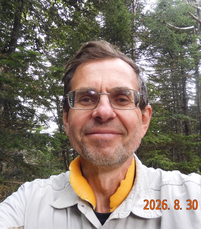
12:00 – 12:17 Elev. 4415. I am on top of South Carter Mt. My first food for the day – an orange and place a long strip on orange peel on my neck. The benefits are obvious: anti-perspirant, anti-mosquito, plus pure vitamin C delivered on sensitive skin subjected to sun damage. Within last 2H I have met seventeen hikers and one more stepped into the summit just now. I see that the rain postponed till 16H, but the wind is very ominous and there are tiny droplets of water in the air. I just completed half of the track as per FarOut APP I hiked 11.7 mi and 9.3 mi remains to go.
Next 0.8 mi will be down to Zeta Pass. On the way I stop by to forage on wild raspberry – immediately accessible from the trail.
12:52-13:01 I am at Zeta Pass. It is an intersection between AT and Carter Dome Trail. I need to climb up next 1.5 mi, and it is 2.7 mi to the hut.
Total hiked 12.7. Total remaining 8.5 mi.
13:12 – Carter Dome (bypass) Trail branches off to the right. It is an official bypass that allows you to avoid climbing Mt. Hight and this option is 0.3 mi shorter.
 |
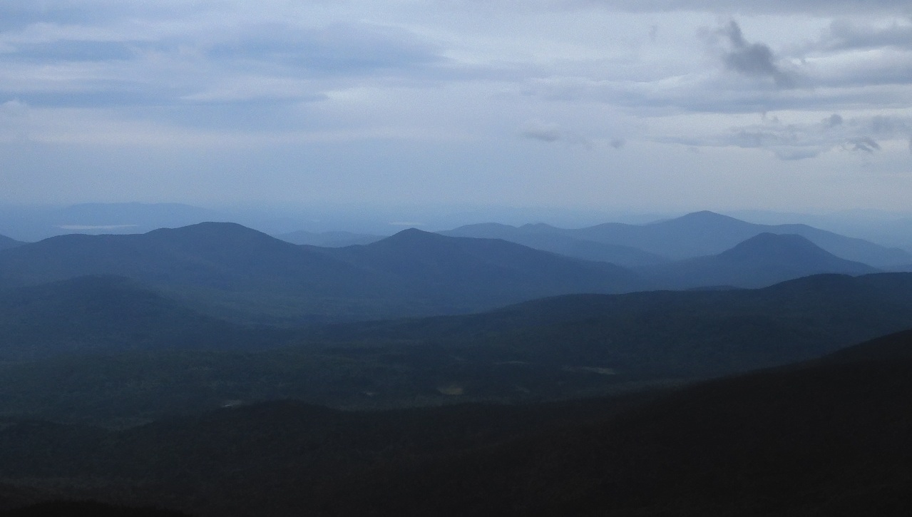 |
| Orange peel repels bugs, shields skin from the sun and delivers vitamin C directly to it. | There are 360° views from Mount Hight (4665′). You can bypass it, but the gain is only 0.2 mi. |
13:45- I am on top om Mount Hight (4675′). There are excellent views all over, but ominous weather makes everything look the same – gray and dark.
14:13 I see Carter Dome (bypass) Trail joins in again from the right. And almost immediately Black Angel Trail departs to the left. This next small section of AT I have used complete a 13 mi Wild River Loop on August 30, 2014 – exactly 12 years ago to date.
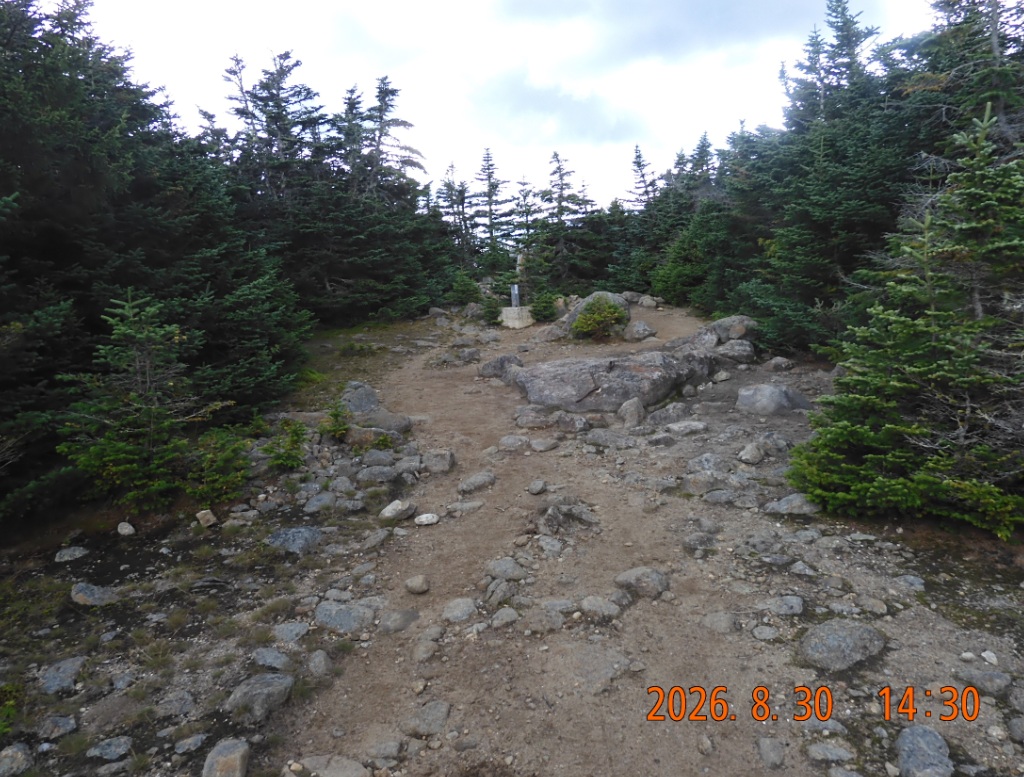
14:30 -14:46 I am stepping into Carter Dome – the highest point of the trip – 4832′. The summit itself has no open views, but several not obvious side paths offer glimpses in different directions. So far today I have met thirty-two hikers. There is a very weak cell signal that allows me to move the beginning of rain to 17H.
 |
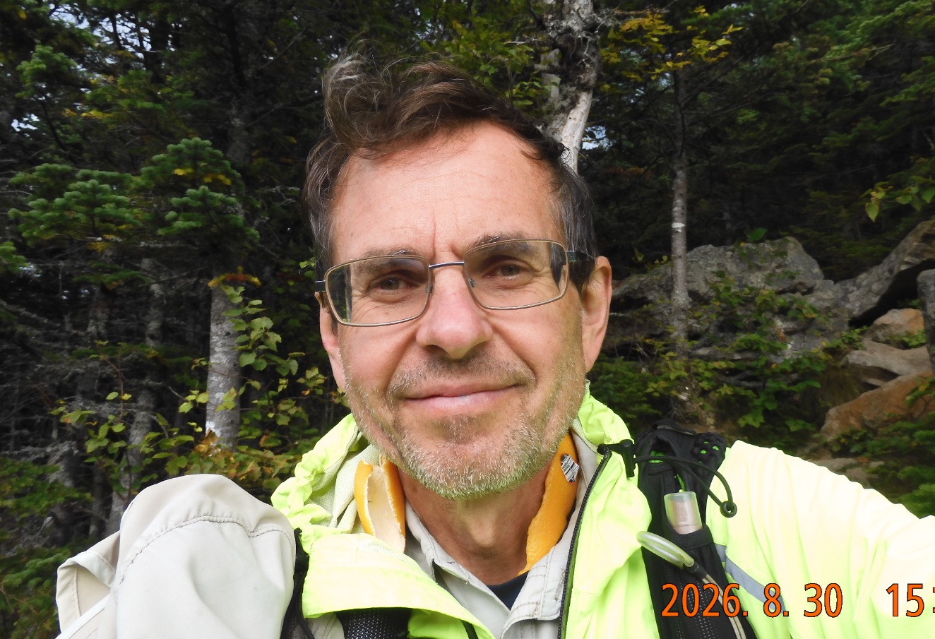 |
| This is the highest point of the trip – Carter Dome (4832′) but there is nothing to see here. You are surrounded by trees. | Happy to go down to Carter Notch Hut. But the plan is to keep going to get water and find a flat spot to camp. |
The next mile of the trail is a sharp descent from 4800′ to 3200′.
15:32 for the first time there is a view down to Carter Notch Hut – it is a collection of three buildings.
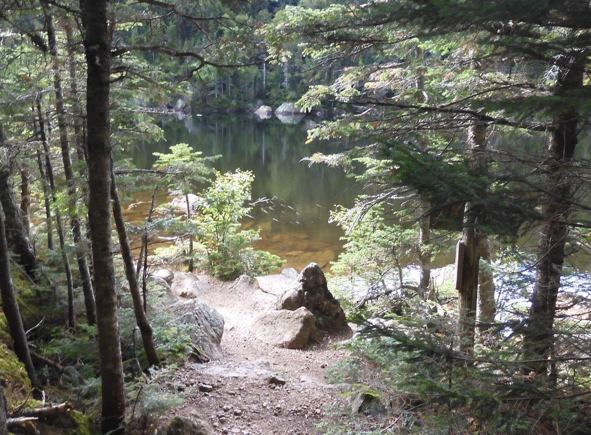
16:07 hiked 7.04 /15.5 mi. Remains 5.8 mi. I arrived at a trail split to the hut and to continue of AT. I send Lira pictures of the pond. At the same time the sky is clearing, and sun is breaking out and very dark clouds are impending from the other side. I cover the backpack with rain protection, fold walking sticks and extract folding umbrella. Although the rain is just barely starting, I do not want to be caught off guard.
 |
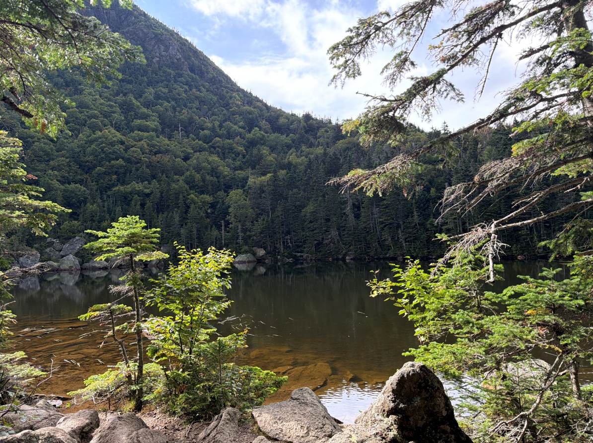 |
| A milestone reached: junction with Carter Notch Hut. | This is the large pond out of two. For the first time today I can see blue sky, but a scarry dark storm cloud is moving in as well. |
16:28 I kept climbing up and reached the split to 19-mile Brook Trail. This section I traveled in 2010. In was my first experience with hiking and biking in one trip.
16:46 As soon as I crossed the hut Forest Protection Zone (PPZ), I reached Rockslide where there is reliable running water. Ok. I collect water into 3-liters bladder.
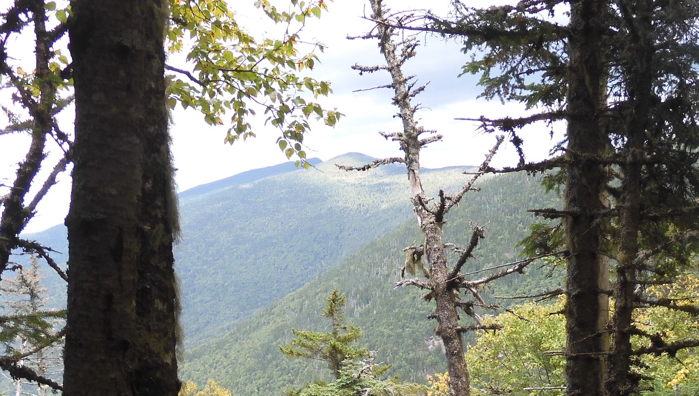
17:13 The trail climbs up and up and I already have views of the other side where I came from. I am intently scanning the area around the trail for any opportunity to camp. No, no and no. The incline is too steep, and the jungle of brush and undergrowth is too thick to even attempt to camp. I even attempt to settle in an overgrown place, but NO, too many dead trees and ground is dangerously uneven – one can break a leg while stepping into an empty space covered with thick undergrowth. I was hardly able to get out of the brush back to the trail. However, it is more interesting to hike with a purpose. Every trail turn can uncover a gem of a spot. But NO.
 |
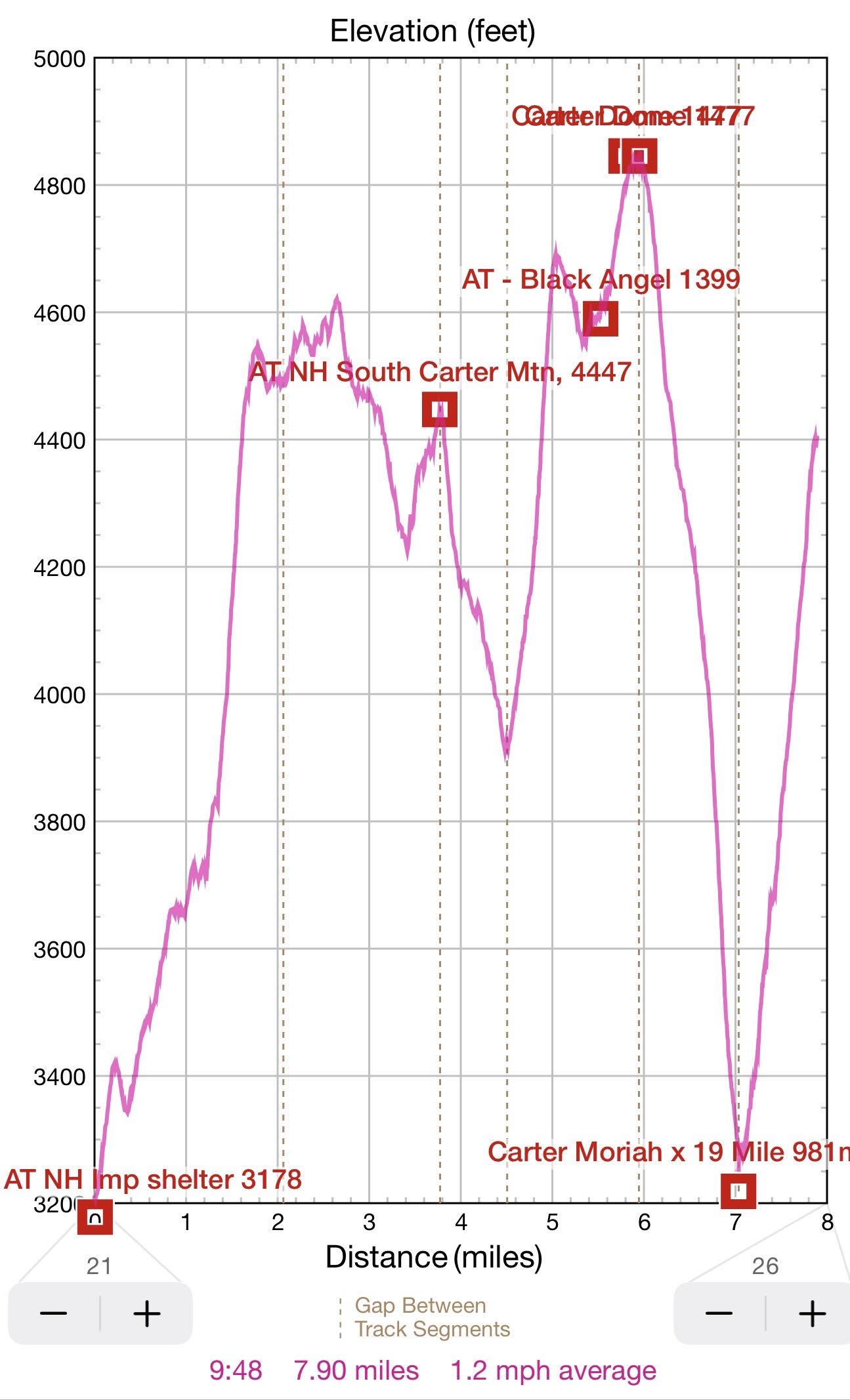 |
| Slowly climbing up Wildcat Mountain. I think I can see the sun on neighboring summits? | A roller coaster hiking day to the top of Carter Dome, all the way down to Carter Notch Hut and up again to Wildcat Mountain (4422′) |
17:53 Hurray! After 0.86 mi of climbing from 3200′ to 4400′ I am on top of Wild Cat Mt. where I see a perfect spot ideal for camping. I did all this climbing for the past hour with an umbrella in one hand and three liters of water in the other. Hiked 8.2 mi today /16.1 mi in 3 days. There remains 4.9 for tomorrow to reach the car.
The spot is great. There is no water source here, but a narrow path not even 5-yards long connects it to the trail. The spot is flat and clear of debris and vegetation. And there are trees to attach the hammock. And the rain just now started to spread its wet footprint.
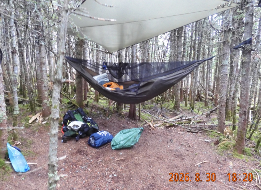
18:20 first picture in the camp. Rainfly and hammock are set; all the equipment is safely under a tarp cover.
18:32 As soon as all immediate concerns addressed, I am changing into fresh dry clothes. There is no appetite, but it never prevented me from having a great hike’s meal before.
19:02 cooking cautiously under the rain. And rain gives it temporary reprieve. I manage everything on time. Food and even alcohol for cooking run low. It is nice – less weight to carry tomorrow. It is the last (17th) night in the wild this season. The caffeinated black tea with two sugars tastes amazingly good after a day in the open air.
19:35 Picture of hanging clouds as seen from the cliff viewpoint. There is a weak signal here, and I was able to finish my final weekly Duolingo session.
 |
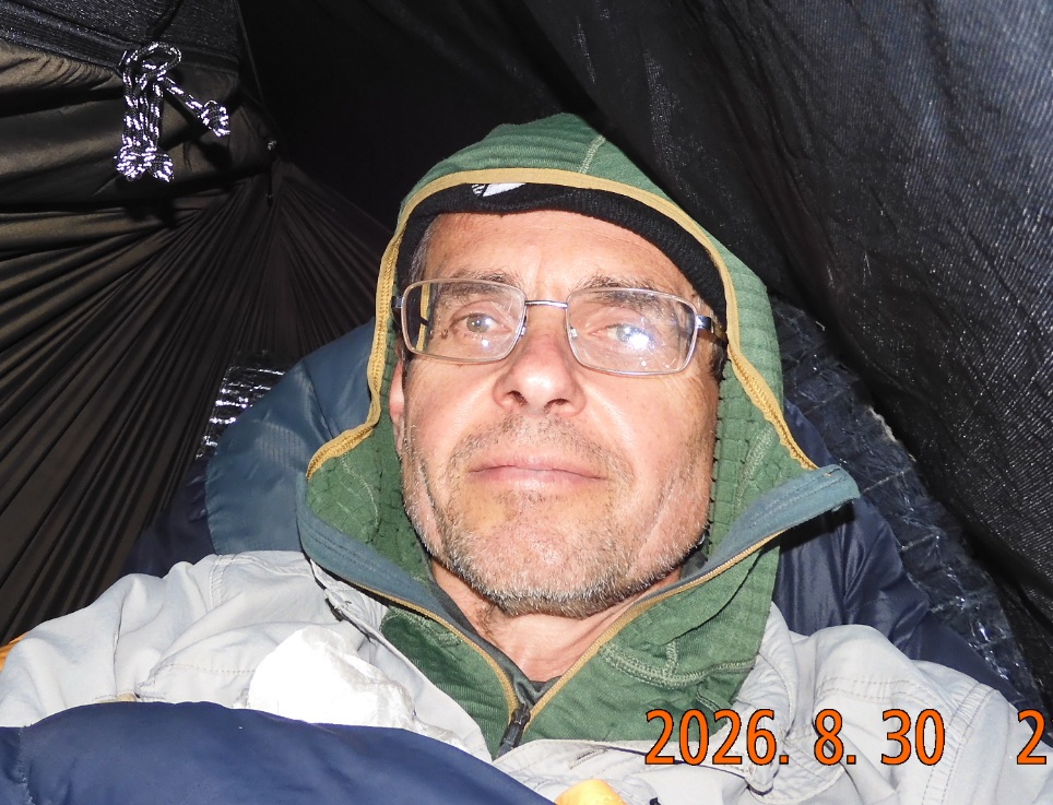 |
| Just in time delivery: the rain is finally here, but all the stuff is safely under cover. Note blue 3-liter bladder that came here with me from the valley. | The rain is going strong, but it is nice and dry inside the hammock. |
20:32 I am in my hammock. The rain and wind are starting again with a new strength with probability 70%.
20:59 A fierce rain began. The downpour exposed a weakness in my tarp-and-rainfly setup: rain finds a way to go through and my left shoulder getting wet. What is happening? I had pitched the rainfly high above the hammock to create dry space underneath and stretched an additional tarp tightly over it to keep moisture out of my “living quarters.” I see that I need to shift things around for better protection.
21:06 last pictures of the day – inside the hammock with different light options. But day is not over yet. The rain creates new dangers and new challenges for a lonely hiker.
22:45 It is dark, wet, windy, and cold. The wind shakes the trees and my hammock, yet I must find a way to sleep in these conditions. I keep climbing out of the hammock to adjust. Because the rainfly was not taut enough, it formed a pocket that dangerously collected a bucketful of water. I fixed the problem on time, and I am amazed that the fabric withstood the pressure.
On one of these out and back in maneuvers, I leaned on the fabric with one elbow and the hammock mesh ripped. The hammock at this point is 10 years old, but to this point it held good to the elements and usage.
Ok. Let’s try to sleep. The core body, the clothes and the sleeping bag are dry. Everything is under control. I will survive through another night – this time on top of the mountain.
Navigate through the List
- 01 2026-08 First August trip to Vermont (2026/08/17)
- 02 2026-08-18 TU First day so full of driving, biking and hiking (2026/08/18)
- 03 2026-08-19 WE - second hiking day - jump over Glastenbury Mountain (2026/08/19)
- 04 2026-08-20 TH - 15 mi day over Stratton Mountain (2026/08/20)
- 05 2026-08-21 FR last 10 mi to the car (2026/08/21)
- 06 2026-08 AT VT trip lessons and overall summary (2026/08/22)
- 01 2026-08 AT NH trip to Carter Notch (2026/08/27)
- 02 2026-08-28 FR - start the hike from US Route 2 in Shelburne, NH (2026/08/28)
- 03 2026-08-29 SA - climb up from Rattle to Imp Shelter over Mt. Moriah (2026/08/29)
- 04 2026-08-30 SU from Imp Shelter to the top Wildcat Mountain (2026/08/30)
- 05 2026-08-31 MO - Down, down, and down for 5 hours (2026/08/31)
- 06 2026-08 - all seven wild nature trips this year (2026/09/01)
Be the first to comment