
Summary: It was a long and difficult descend from the heights of Wildcat Mountain (4422′) into the valley, swim in the river and return to the car happily.
06:10 wake up after a sleepless night on top of the Wildcat Mountain. All night I had to wake up to adjust the rain protection system (rainfly + tarp). All night the feet were super cold – I figured, probably because of the angle of the hammock – may be my feet were too high and head was too low? Strange, but there is no powerful drive to get up that usually motivates me on the last day of the trip.
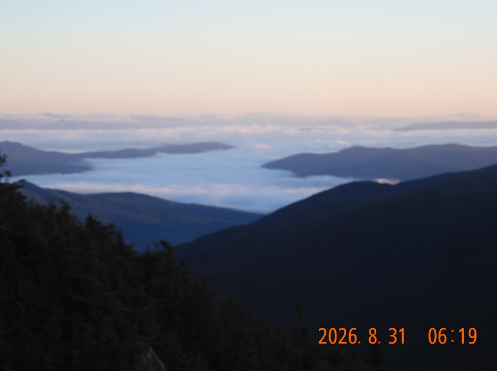
06:19 The sun is already out, and I go to a “cliff with stunning views” and see mostly myself in a camera. Most of the venues below blocked by the clouds and morning fog.
06:36 everything is still very wet and cold despite a strong wind all night. I must pack my stuff as is. It is cold and wet and I am shivering. I will hike with several layers of clothes still on.
 |
 |
| First picture of the day – a view from Wildcat Mountain. The night was ominous, but the morning is crisp and primissing. | The sun is bright but it but it doesn’t provide warmth. |
07:48 – Finally everything packed and I am ready to hike without any additional water and with much lighter backpack. I used up almost everything.
08:31 – 08:46 I see pictures of various views toward Mount Washington, but I do not remember what I was going through. The principal drive was to lose the elevation and gain the miles.
 |
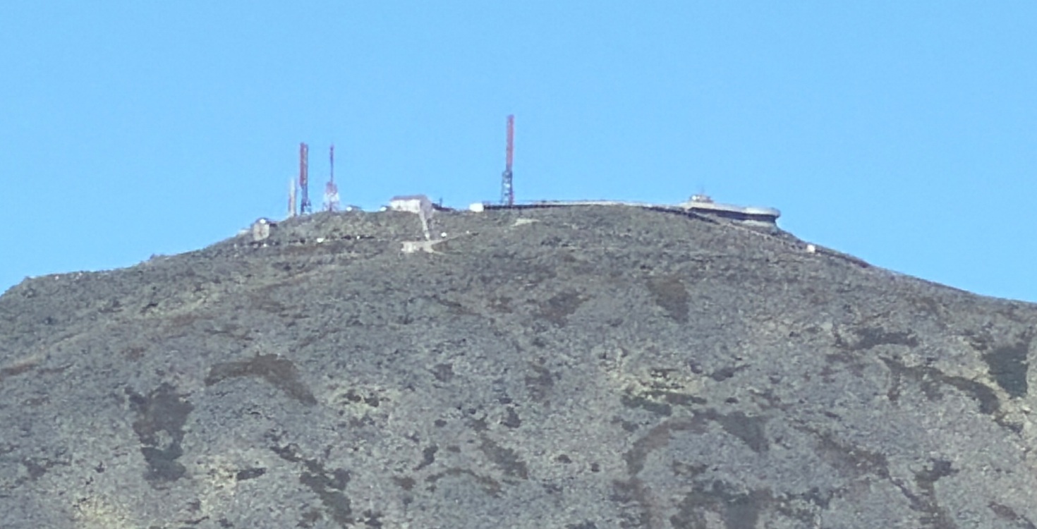 |
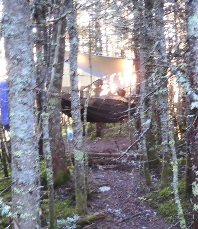
| Happy morning at wet cold camp on top of a mountain | A formidable view at Mount Washington from the trail. |
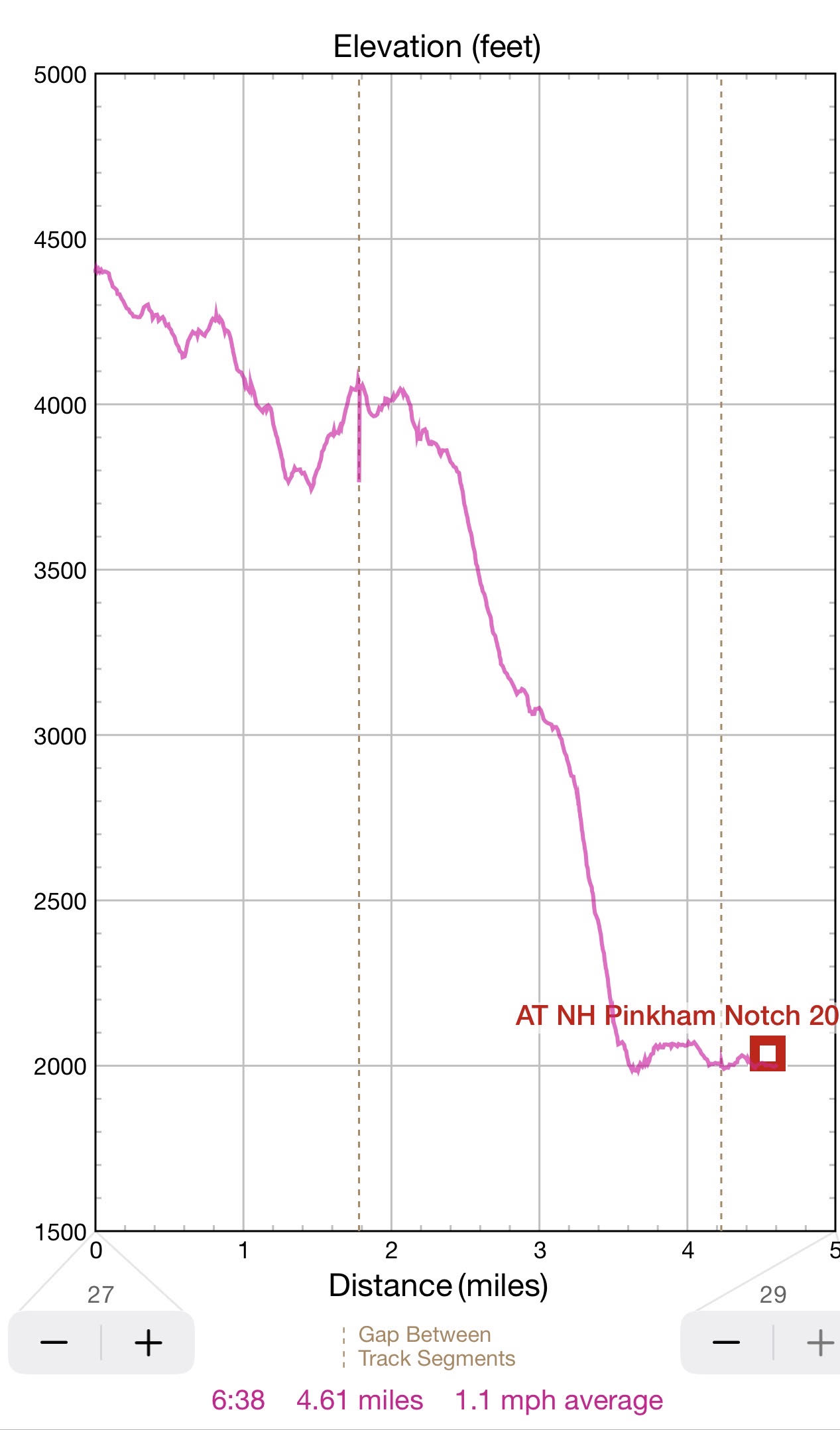
09:28 – 09:35 I made a quick stop to remove extra clothing. As I begin a mild climb up Wildcat D, the weather finally warms enough to remind me of a normal summer day. There is only 3.1 mi to go but it will take me 5H to complete. Ok, 4H is deduct one hour break.
09:49-10:50 – hiked 1,78 mi / 18 mi. 3 mi remains. I am on top of Wildcat D Peak – 4050′ on a large (15×15′) elevated wooden platform (observation deck) for better viewing. There is bright, bright sun especially strikingly so after the cold rainy and windy night. I would stay here for an hour as I need to do my Duolingo, warm up, cut nails and estimate my progress. Despite 2 hours of hiking I did not lose any elevation. All the strenuous descent is still ahead of me. The sleepy flies are here with me enjoying the bright sun. I did not encounter anyone to this point, but almost immediately day hikes who started earlier in the morning are beginning to arrive from various trails and some want to talk. I am hiding in a minuscule shade on my backpack to do my Spanish lessons.
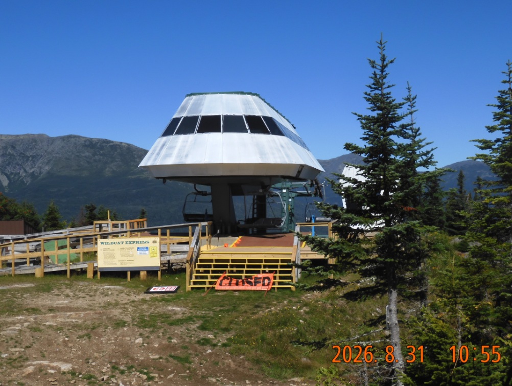
I start hiking along the top of the mountain. I pass the top structure for gondola ride that finishes here, but everything closed for summer.
 |
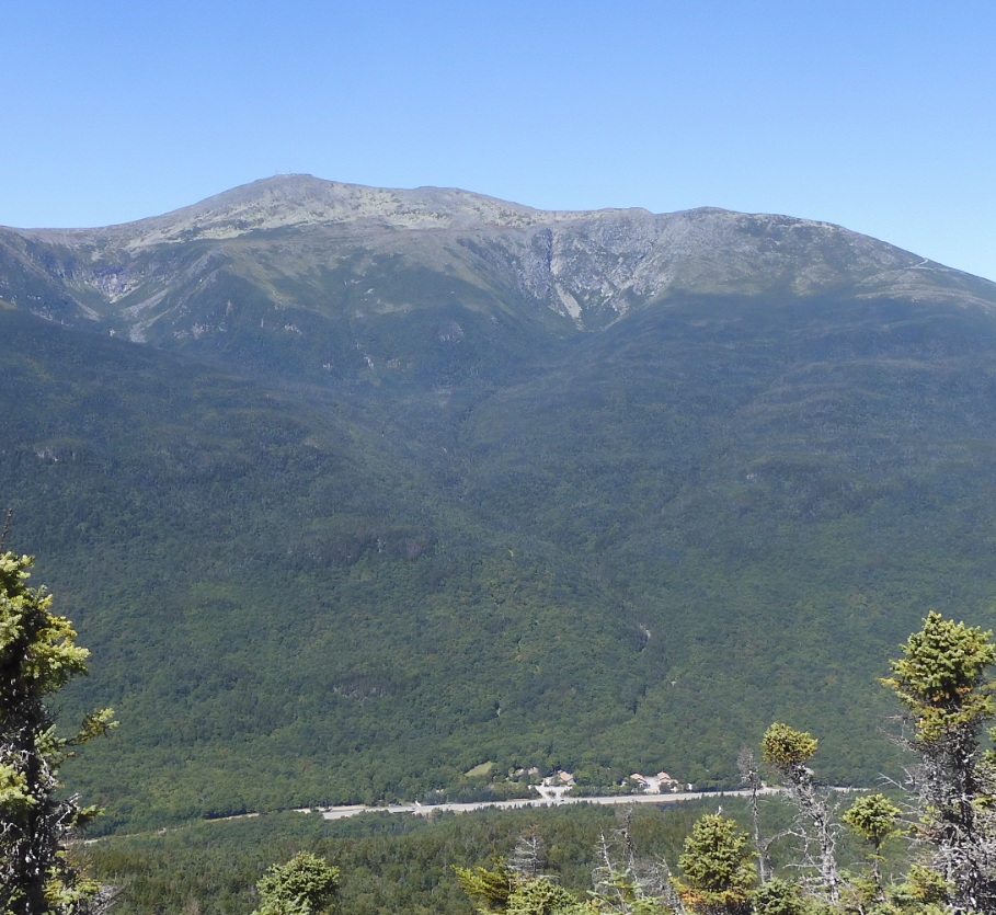 |
| The top of ski lift at Wildcat D. Everything is closed. But the design is futuristic. | First view at Pinkham Notch and route 16. It is 2 more hours to the bottom. |
11:27 for the first time I see down the slopes the structures and buildings of Pinkham Notch. During next 2 hours I will be encountering many viewing opportunities and will even skip some.
12:00 time for some intermediate results. Elev. 3151′. Only 0.9 mi remains to the bottom. So far hiked 2.83. I completed 1.04 horizontal miles in an over an hour. There is no hunger, nor thirst.
12:30 the downward move is getting sharper and sharper. When I see Pinkham Notch, it seems right underneath me. I can hear the noise from cars below. I double my efforts to be careful with every step and every jump down.
13:12 Finally, the grueling descent is over. I am at the junction with Lost Pond Trail. There is one more mile to destination – Pinkham Notch.
13:28 – Lost Pond trail is unpleasantly uneven, full of boulders, wet spots, and unexpected difficulties. The Lost Pond is shallow, overgrown and there is no energy left to even look at it.
 |
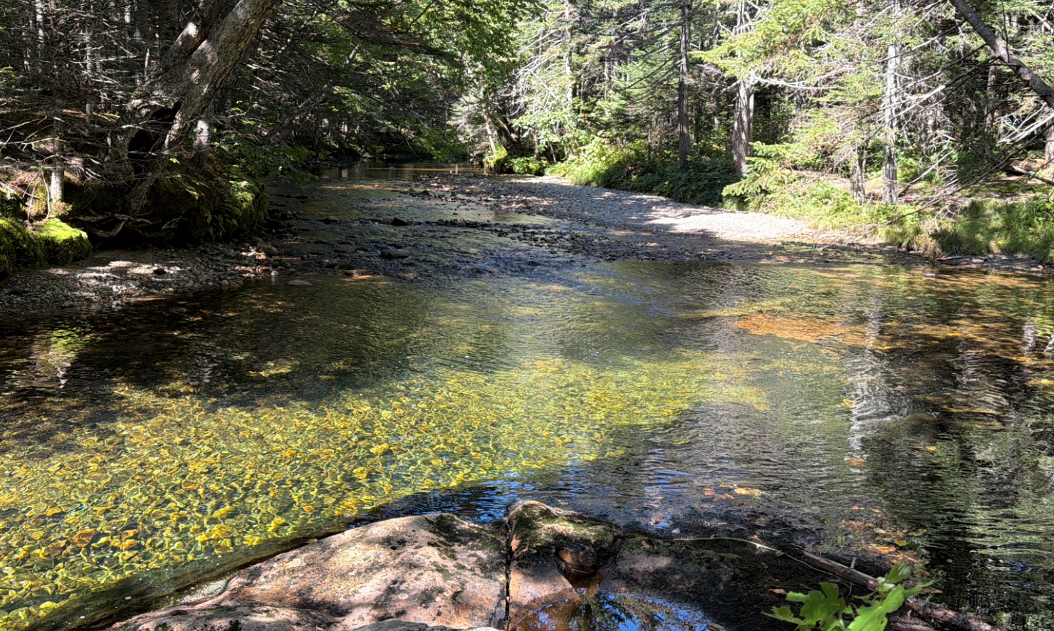 |
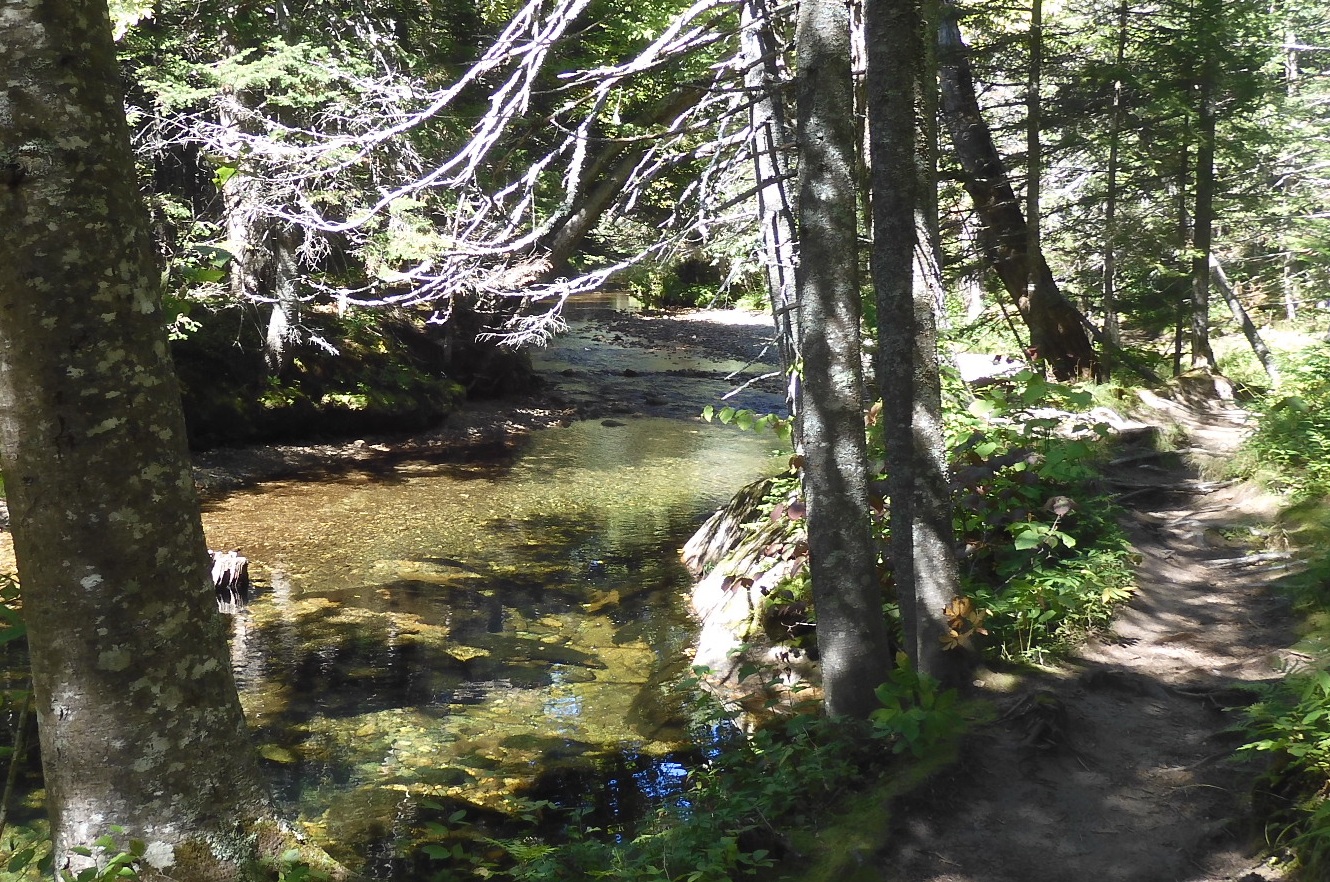
| Suddenly AT meets Ellis River – a gorgeous spot. | There is everything here what you need – a sunny landing spot, clear water, not too deep river for swimimg |
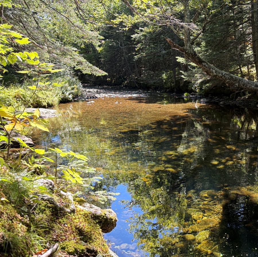
13:42-14:14 – Suddenly, I walked into a haven on earth. It is a quite banks of Ellis River. The clear water is peacefully running on pebbles. You can see all the way to the bottom. There are dipping holes and shallow spots. Everything is lighted and colored with bright sunspots. And all this so sudden, so unexpected. I drop everything and look for a place to enter the water. Shortly before that I encountered a lady that disagreed that this trial is boring, and she told me that I will change my mind in just a few minutes. And she was right. I love it. Good thing that I decided to swim in the trucks, because she is coming back and the entire watering hole is too close to AT.
 |
 |
| Ellis River was a welcome memorable spot for swimming and regrouping. | From 11AM to 1PM it was a sharp dangerous descent with seval slips. |
14:26 – 14:33 ODO 170.6 – I came back to the car. The car is standing there in its place and is waiting for me – everything is in order.
14:59 – 15:11 – ODO 184.9 +23.5°C – I arrived at Rattle River Trailhead with a SOBO hiker that I picked up in Gorham. My bike is waiting for me. Everything is perfect. I will drive back home using route 93 via Crawford Notch.
18:40 ODO 372.6 – +24°C – I came back home after multiple maneuvers to avoid traffic on route 128 and to get to Super Petroleum in Waltham.
22:27 Everything is under control. After check for ticks, shower, we had a later than usual diner with salad and vegan Italian sub sandwich. Sleep, sleep, sleep.
Navigate through the List
- 01 2026-08 First August trip to Vermont (2026/08/17)
- 02 2026-08-18 TU First day so full of driving, biking and hiking (2026/08/18)
- 03 2026-08-19 WE - second hiking day - jump over Glastenbury Mountain (2026/08/19)
- 04 2026-08-20 TH - 15 mi day over Stratton Mountain (2026/08/20)
- 05 2026-08-21 FR last 10 mi to the car (2026/08/21)
- 06 2026-08 AT VT trip lessons and overall summary (2026/08/22)
- 01 2026-08 AT NH trip to Carter Notch (2026/08/27)
- 02 2026-08-28 FR - start the hike from US Route 2 in Shelburne, NH (2026/08/28)
- 03 2026-08-29 SA - climb up from Rattle to Imp Shelter over Mt. Moriah (2026/08/29)
- 04 2026-08-30 SU from Imp Shelter to the top Wildcat Mountain (2026/08/30)
- 05 2026-08-31 MO - Down, down, and down for 5 hours (2026/08/31)
- 06 2026-08 - all seven wild nature trips this year (2026/09/01)
Be the first to comment