
Summary: drive from Boston to Newry, ME towards Sunday River ski resort. Park near Ketchum and walk north on Mile Notch Rd. up towards Grafton Loop Trail. Camp at Bull Run Campsite.
05:12 wake up without an alarm. Weather forecast is dry and warm for all three days.
06:00 ODO 0.0 +17°C – depart from home without a bike
07:08 – 08:05 ODO 73.6 +14.5°C – rest area of route 95 north in Kittery, ME. Finish Duolingo with local Wi-Fi. This time my path goes into unknown territories, so my gun is with me. Level of anxiety is normal for the beginning of the trip. The days for the trip are hand-picked perfectly – low impact on work, no rain and warm nights. The car vibrates a little, so I monitor that condition by looking at water surface in my water bottle.
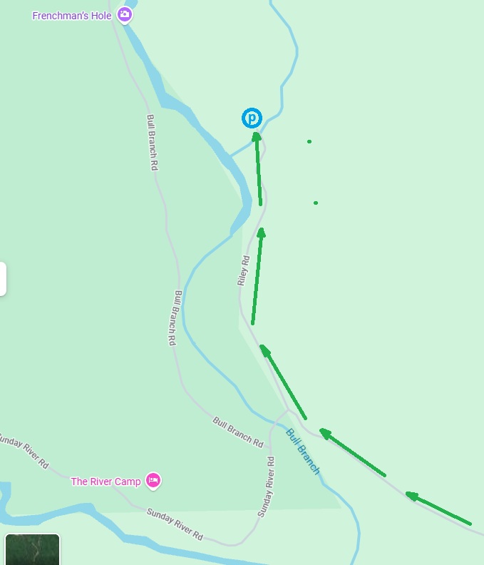
10:04 ODO 186.5 – entering Sunday River Rd. off route 2 in Newry, ME
ODO 192.9 – the end of a paved road
 |
 |
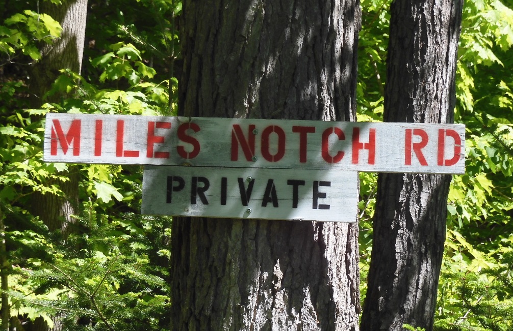 |
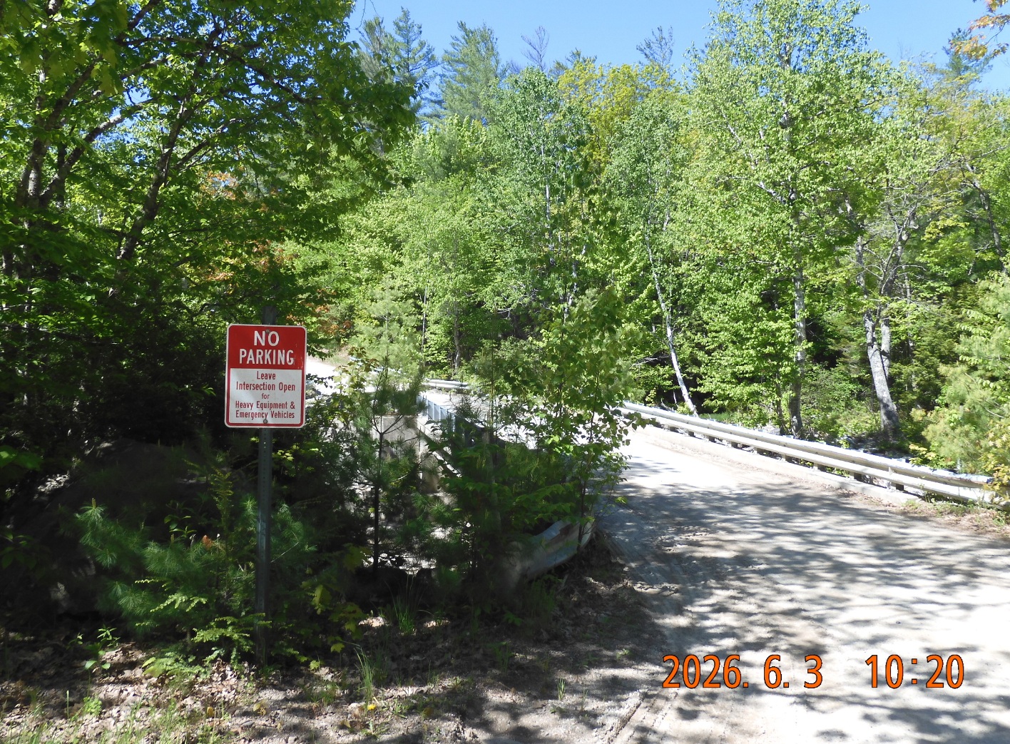
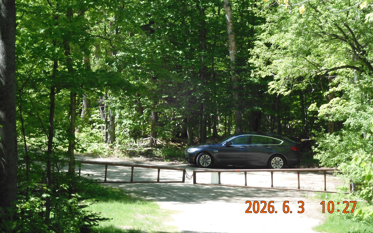
| Twin Bridge off Sunay River Rd. Bull Branch stars on the other side. | As part of investigation I drive 0.4 mi further and discover 2 gates where I park. | Yes. It is a perfectly good road that is used for logging operations. People are using it as an access point to Grafton Loop Trail |
10:18 ODO 194.1 +21°C – I am at Twin Bridges Rd., and the sign says No Parking and even explains the reason – Leave intersection open for Heavy Equipment. There are 3 options for me to continue my trip, and I want to check the beginning of my third option route via Mile Notch Rd. I drive another 0.4 mi on a Riley Rd. and . . .
10:26 park at the very end of public lands – in front of two gates blocking further progress. I see that my chosen road is in very good condition and is being used. I decided to leave the car and start the hike from here. The bugs are present, but mildly.
10:56 start the hike – Elev. 1005′. I need to go up the road for 3 mi.
11:10 The orange WORK ZONE NOTICE sign suggests No Entry to Public Lands. So, is it private or is it public? Seem like they are confused themselves. What is funny is that a tiny plywood guard house with one door and one window even has a mailbox next to it. Very cute. The road goes sharply up and gains elevation quickly. It is getting hot. So, as I am walking, I am seeking a tree shade protection wherever I could. Ahead I see some prominent hills with no names.
11:24 – 11:32 Road splits after first mile of the hike and I take the right fork that is blocked by multiple man-made tranches. Apparently, these tranches formed after old culverts were removed. The road becomes unpassable for cars. The internal tension is still there, but the first hours and minutes of the tips are easing that tension.
At 11:38 I looked at the GPS and discovered that I took the wrong fork. I’ll go back, cut through the forest up the hill and in 3 minutes I am back on the right track.
 |
 |
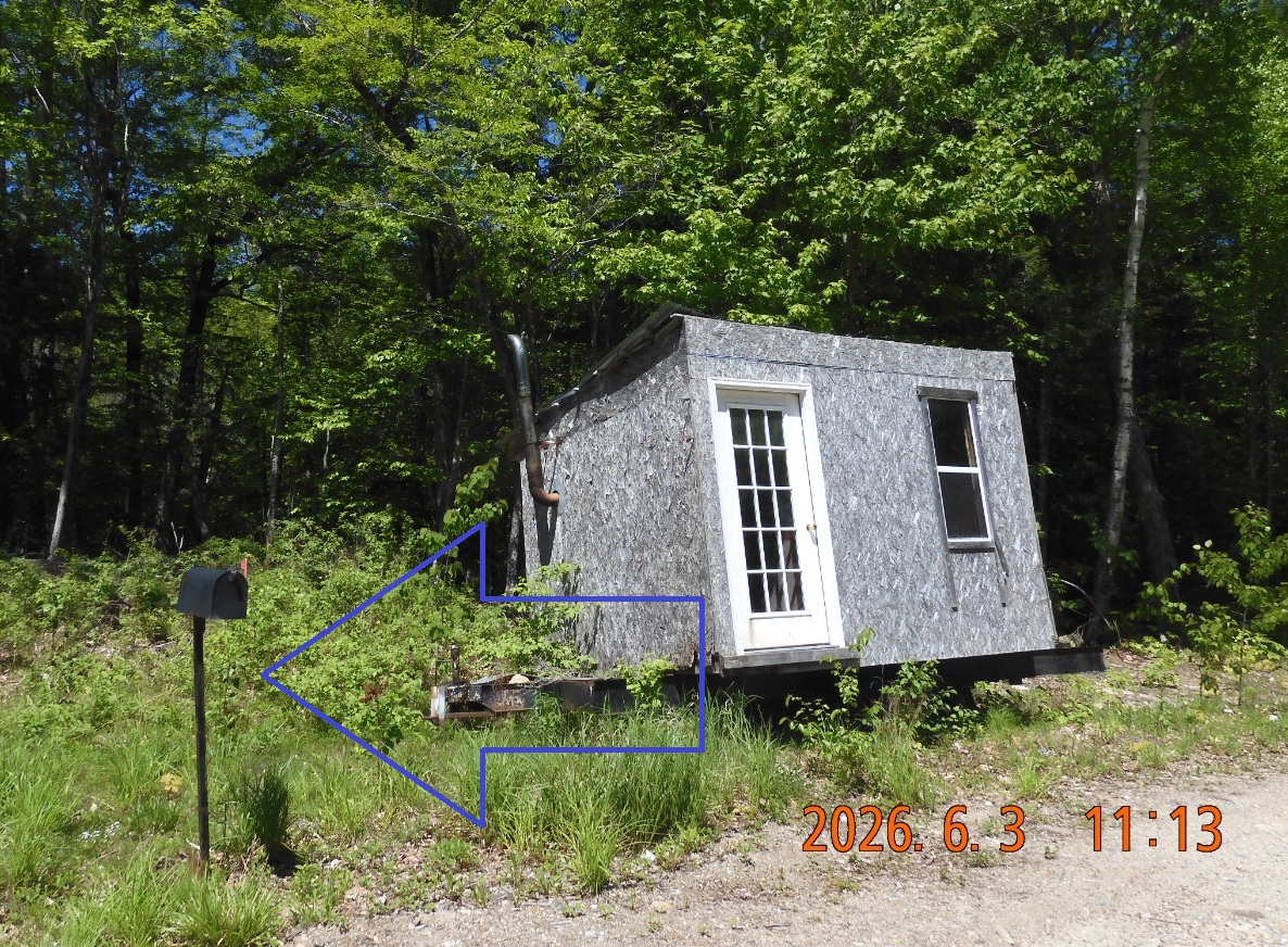 |
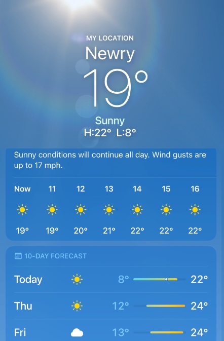
| Yes. The road is solid and it is good starting point to the trails | Forecast is excellent for the next 3 days | Cute guard house with its own mailbox. Apparently the box is made from plywood. |
11:58 So far, I walked 1.99 mi. Evel 1699′. I’ve reached another split of the road. I will continue straight but the bridge for the right fork is completely washed out and blocked by tranches as well.
12:36 – 12:56 I walked 3.3 mi. Elev 2053. The road section of the trip is over. I’ve reached a significant widening of the road – almost a field where they process trees, branches and junk. Per my maps, here it is the shortest distance between the forest road and the trail. Now I would need to go up the hill with no path – the so-called bushwacking.
| IMAGE 04 | 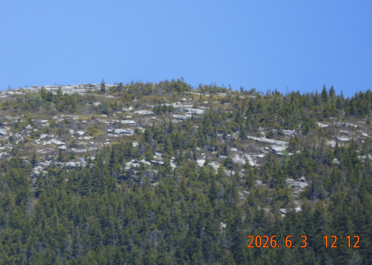 |
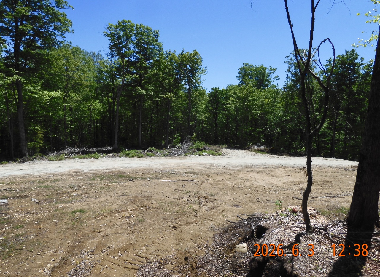 |
| The road offshoots are intentionally ruined by tranches. | You can see far and wide right from the road | At the end of the road I will make a 90° turn up into the forest. This is my jump off point. |
For the next section I would climb from 2053′ to approximately 2400′ in 0.25 mi. There is a weak cell signal, so I can send my coordinates. I am going up slowly and deliberately. To my surprise, along the steep slope I can see and follow a faint line of trees marked with pink ribbons – possibly a property line. Every 15 to 30 yard there are trunks of trees or branches with these ribbons. Some ribbons are on the ground, probably they have fallen. Because I am going slowly, I am making good progress, and the slope is a good indication that I am going in the right general direction. I only verify my direction twice at 0.11 mi and at 0.23 mi.
13:28 – 13:44 – elev. 2432. I am on the trail! The forest has closed up around me. Everything seems dark with somber evergreen trees. It is a bug fest around me. They are attacking from all angels. But it doesn’t matter, because I’ve reached the next destination – I am on the Graton Loop Trail. Nice! It took 31 min to hike 0.27 mi. This is the most exciting section of the trip – exploring new connections, going beyond ordinary, stepping into unknown.
With a much lighter heart I continue north-west on the trail.
13:53 I see a giant boulder in the shape of a wave not far from the trail. The trail has opened up again, and there is plenty of light now on a brightly lit path. Trail goes relatively flat slowly gaining elevation from 2400 t0 2700′. There are no markings on the trees and sometimes you are forced to search for the continuation, especially after a blowdown.
14:34 – 14:58 – hiked 4.79 mi – elev. 2669 – I’ve reached Slide Mtn Campsite. Despite the obscurity of the trail, the campsite has a donation box, a toilet and a Bear Box. The box contains various thing people left behind: wire cutters, a wine bottle, bug spray and, of course, some plastic bags with garbage. I did not see however any platforms but didn’t explore the entire camp.
15:42 I am at my destination for today – Bull Run Campsite. Hiked 6 mi today – elev. 2879. – To get to the camp one first needs to go down to the river, cross the river and then climb back up to the camp.
There is one central platform and then later (16:06) I discovered one more secluded over-sized platform and there were no people around. Water is plentiful from Bull Run brook, there is a bear box, a donation box and, far away, there is a composting toilet. There is a super weak cell signal here, but I can’t connect.
| IMAGE 01 | IMAGE 02 |  |
| TEXT 07 | TEXT 08 | TEXT 09 |
16:37 – collect water, take a quick refreshing plunge into the brook, and put on a lot of clothes to protect yourself from bugs. I need to sweep the platform as it is littered with needles and sap. I use a bunch of spruce branches, and it works well. The weather remains excellent – sunny and warm.
17:14 – I am inside the hammock. I can eat my porridge from home and record my notes. Plan for tomorrow is to reach at least Mahoosuc Mile and may be even Full Goose Shelter.
19:30 decided not to boil water for the tea. Just my own water from home. After bathing I couldn’t find my towel, and I walked all over the camp searching for it. It turns out it was stuck inside the hood I was wearing.
I can hear birds. I can hear running water from the brook. No other sounds can reach this remote spot. Gun and iPhone here inside the hammock with me. It is a warm evening. I don’t even want to climb into my sleeping bag.
Navigate through the List
- 01 2026-06 Preparation for a third trip (2026/06/02)
- 02 2026-06-03 WE - Private Mile Notch Rd. to Grafton Loop Trail (2026/06/03)
- 03 2026-06-04 TH - from Old Speck MTN over AT to Mahoosuc mile (2026/06/04)
- 04 2026-06-05 FR - local shortcut to Bull Branch and alternative roots (2026/06/05)
- 05 2026 06 Lessons for all three May-June trips (2026/06/06)
- 01 2026-06 Preparations for the fourth trip (2026/06/26)
- 02 2026-06-27 SA bike fast without rucksack, hike slow without gusto (2026/06/27)
- 03 2026-06-28 SU Fourteen miles in fourteen hours over Mount Washington (2026/06/28)
- 04 2026-06-29 MO - up to Mount Madison and down to the car (2026/06/29)
- 05 2026-06 Epilog - Bite the bullet and do it (2026/06/30)
Be the first to comment