
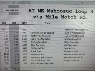
Summary: continue on Grafton Loop Trail up to Old Speck Mountain and using AT to go down to Spec Pond and Mahoosuc Arm and then sharp down to Mahoosuc Mile.
05:11 I can’t believe that I will be waking up at that hour, but yes, I am rising from my hammock on platform number 2 at Bull Run Campsite. During the warm night I woke up in complete darkness 2 times and then one more time at 03:05AM with moonlight making contrast spots and shadows everywhere. It was a quiet night, but at one point something heavy fell on the ground – a branch or a tree. This time the wake-up call came from angry cracking sounds of squirrels.
05:22 Very slowly, part-by-part, I am emerging from the hammock, one leg at a time.
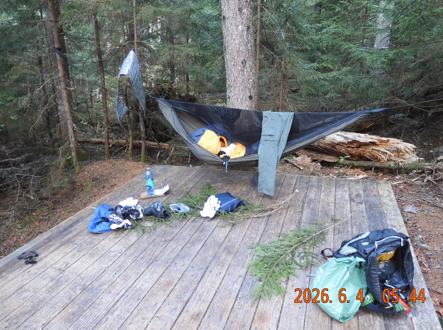
05:44 the platform is convenient, but I can’t place anything directly on the boards. They are covered in sap. When I walk, the soles of my sandals stick to the boards. To sort things out I use spruce branches as an insulator from all that sap.
 |
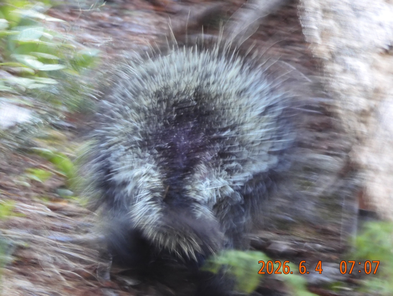 |
| Oversized platform #2 at Bull Run Camp. Caution! It is covered in sap. | There are all kinds of creatures sharing the trail |
06:54 I start the hike up the Speck mountain
07:41 hiked 0.73 mi – elev. 3363′ – I am sitting on the ground in a gorgeous setting. The forest is light and airy. Bug are a few. The road ahead is clear and unambiguous. And every step of the way is littered with adventure.
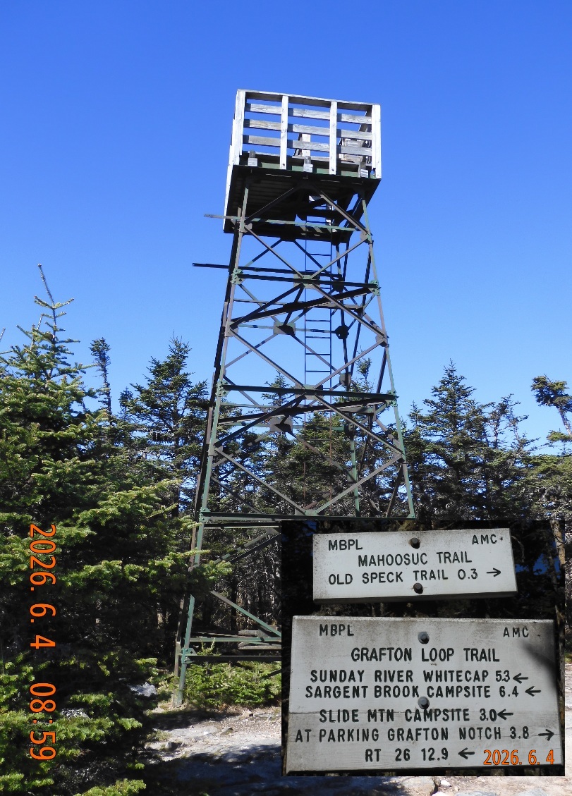
08:59 – hiked 1.86 mi – elev. 4215 – I am on top of the watch tower at Old Speck Mountain. The distance between the ladder and the outer shell of the tower is relatively narrow (probably for safety), but I am climbing with my backpack on, and I am constantly get stuck and it is very uncomfortable. I climbed up here to have breakfast and a session of Duolingo. The signal is not very strong, but it is just enough. It took about an hour for black flies to discover me here up top. The breakfast is plentiful with seeds, nuts, dry fruits and water still from home.
 |
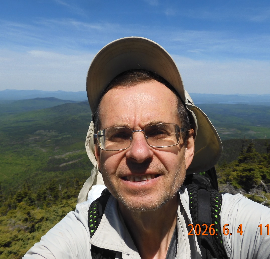 |
| At 9am I am climbing the tower at Old Speck to have my breakfast | Descent is gorgeous and promising even more venues to discover. |
10:49 Finally, I chased out by clouds of black flies, and I ran away to the next destination. Here I encountered my first hiker in 2 days.
10:56 – 11:12 hiked 2.11 mi – elev. 4091I am on AT. Only now my water from home ended, so I would need to replenish soon. I would use AT to go down the mountain towards shelter and Speck Pond.
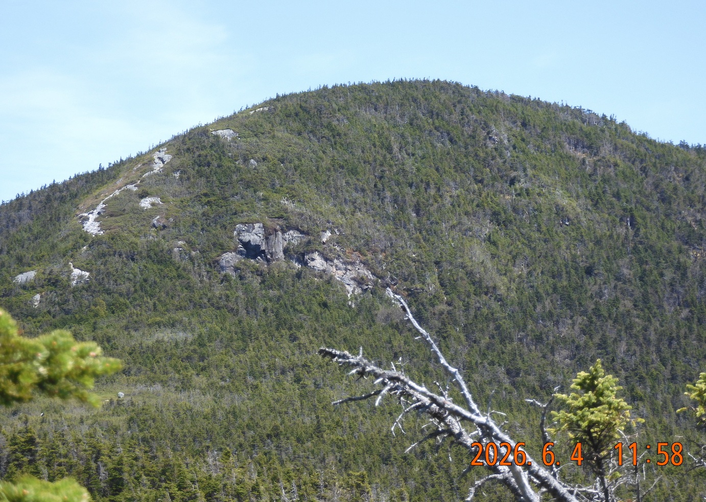
The hike down is fantastic. You can see far ahead where you are going and if you turn around, you can see grandiose mountain you are descending from. On two previous occasions I was going up in the opposite direction and only saw the mountain ahead of me.
12:14 I can see the waters of Spec Pond. I will go to the left around the pond. I will not walk near the shelter.
 |
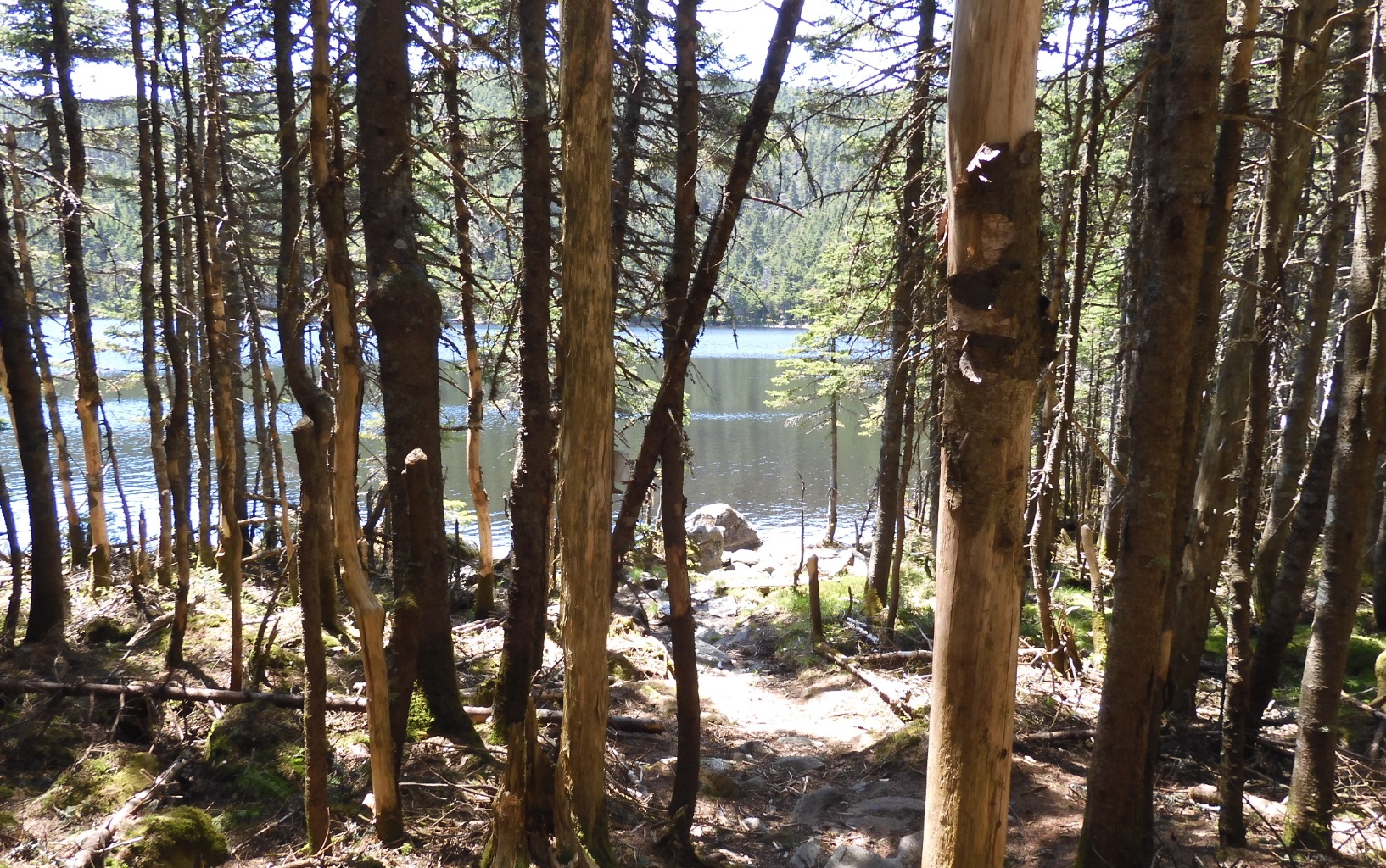 |
| Looking back at Spec Mountain after an hour of descent. Still looking nice and big. | The Speck Pond is a gem, but I do not have a good pictures of it. I am about too see its beauty. |
12:29 – 12:54 hiked 3.33 mi – elev. 3423 – take a swim at Speck Pond near the water outlet. I filter about a liter of water just for a few hours before the next water.
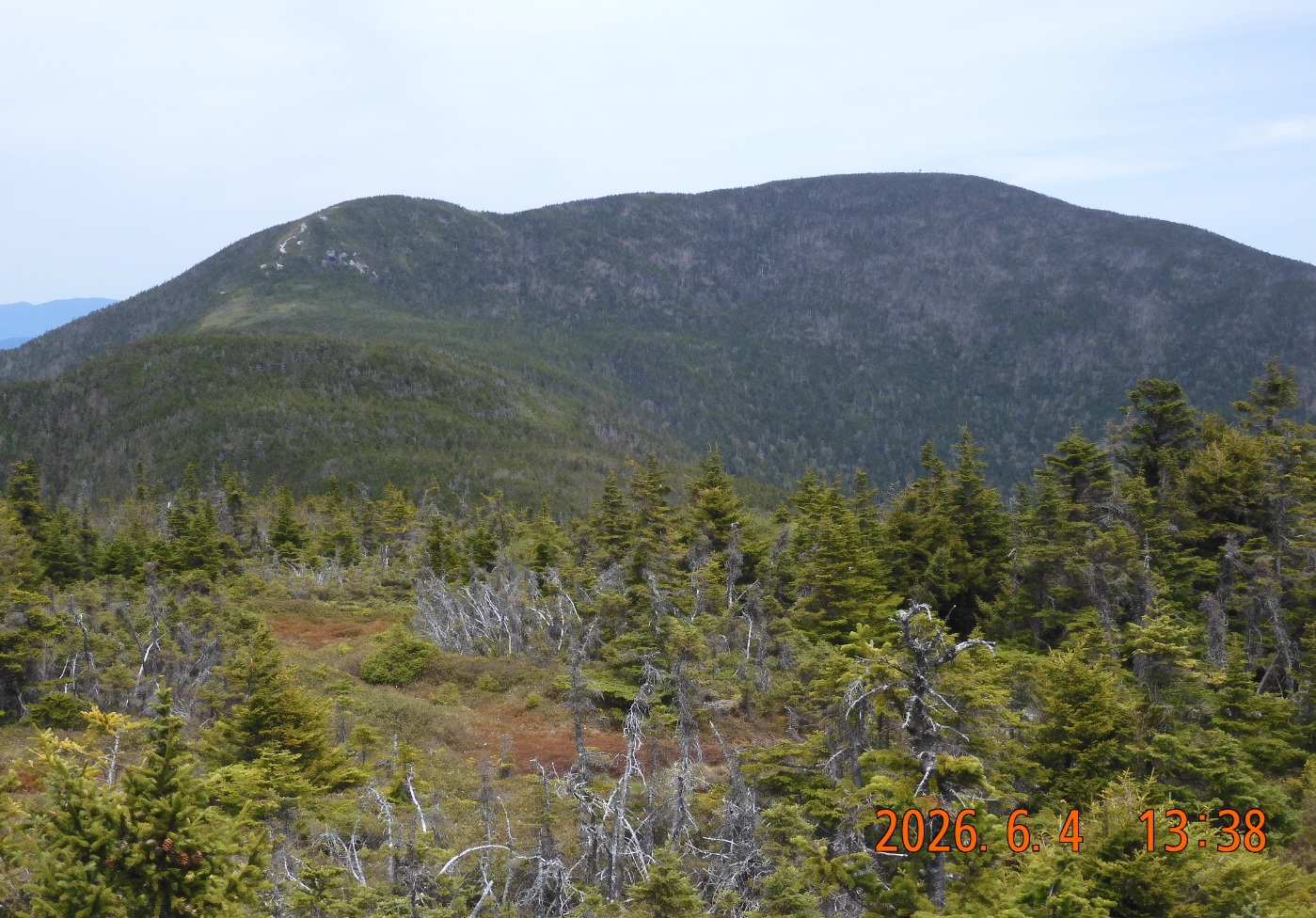
13:15 A nice and confident climb up. As I climb to Mahoosuc Arm (a local mountain) I can see the Speck Mountain and with significant amplification I can even see the tower where I was this morning.
13:27 – 13:38 hiked 3.93 mi – elev. 3774 – I forget to tun on the GPC recording for a 0.6 mi section between Speck Pond and Mahoosuc Arm.
Now begins a very steep hike down. I need to descend 1500′ in one mile. It is 16° incline or 28.4% grade. I just learned that these are two different things.
Hike from the heights of Mahoosuc Arm sharply down to Mahoosuc Mile.
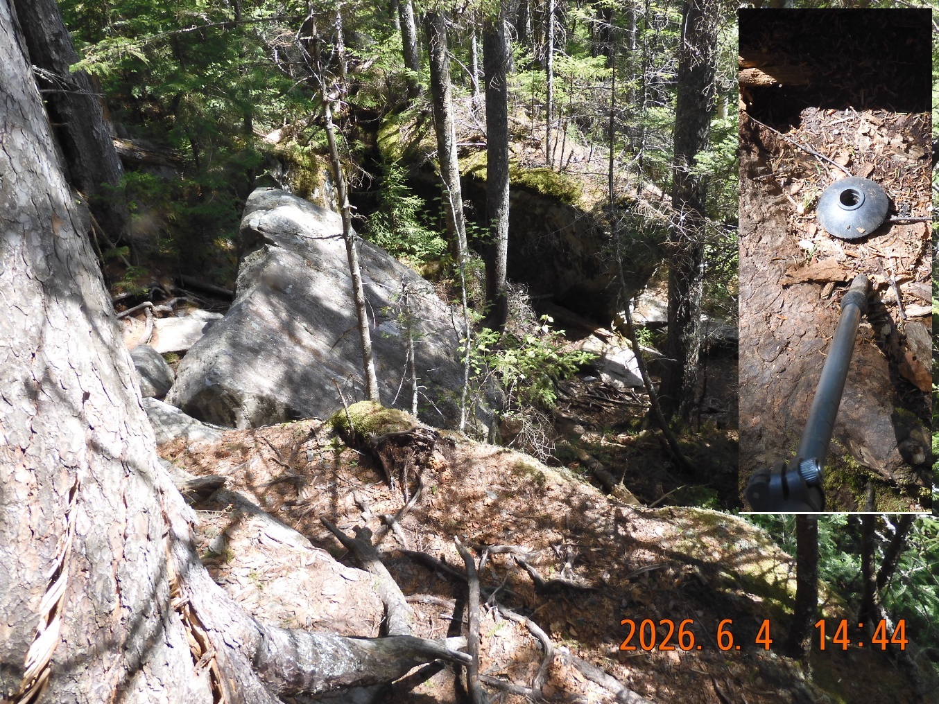
14:40 I lost the plastic cap cover from a tracking pole but was able to retrace my steps and recover and re-attach it. A touching moment. Without this cap, the walking stick gets through the ground and doesn’t provide any support.
 |
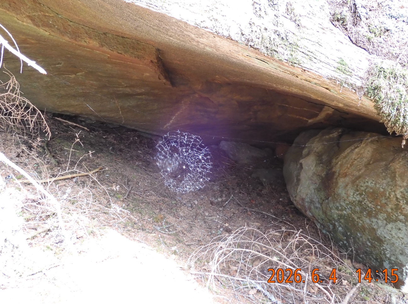 |
| Even after 2.5H after departing from the top, Speck Mountain and the tower are still visible with magnification. | A sunlight caught in a cobweb. It is a small grotto, and a dark background creates a perfect openwork pattern. |
I met a few more hikers including two through hikers.
14:55 -15:25 hiked 4.91 mi – elev. 2437 – Ok. The very steep decline is over. I took a second swim in a familiar brook at a familiar spot from my visits in May 2022 and in 2017. I remember that water here is crystal clear and plus I am not far from the camp for tonight. So I filled my 3-liter bladder with fresh cold water and carried it down the trail. Bladder in one hand and one trekking pole in the other. It was rather uncomfortable.
15:47 I’ve reached an unofficial camp site that is nevertheless marked on the FAROUT (faroutguides.com) APP. I am dropping the backpack and walking sticks to mark the territory. I am planning to stay here tonight.
 |
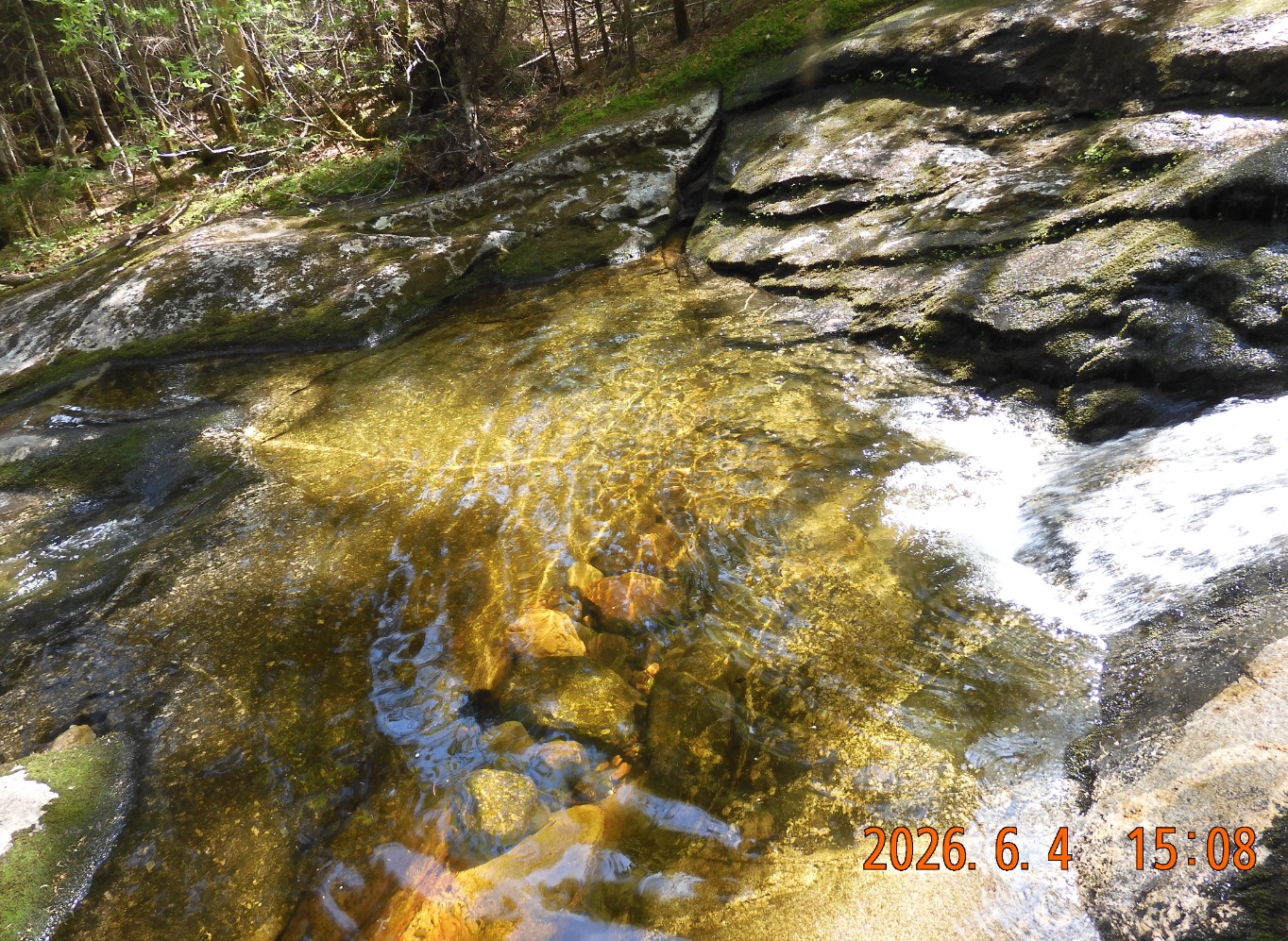 |
| Trail is falling down precipitously, so there is very little margin for error. I noticed that I lost the plastic rings (trekking pole tip protector) and I was able to retrace my steps and found it. | After a little over an hour of sharp descent from Mahoosuc Arm, there is a flattening to a familiar brook that provided a “cold” welcome in the past. |
15:50 With almost no time to break I go down to the river to start exploring the area around. Sharply down there are a few more camping spots and I can also see a trail marked with pink ribbons that crosses the river and goes in a right direction towards Bull Branch Rd. Excellent! This is a good find for tomorrow. But today, I still want to go up and down the Mahoosuc Mile. Using the same pink ribbon marks I go along the river and back to AT.
16:06 I am entering the famous Mahoosuc Notch. The interesting thing is that river turns into a Mahoosuc Mile with only traces of water visible. Sometimes you can hear the water, but the water stream goes somewhere else or hiding. I have time to track the entire Mahoosuc mile up and down and return to the camp.
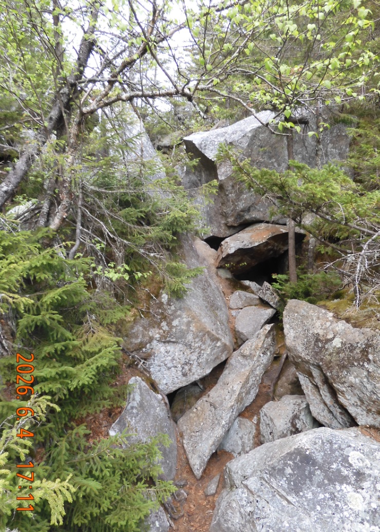
16:31 I see first traces of ice and show. In some areas, you must step onto the snow to advance on the trail. It is a treacherous hike with steep walls on both sides, huge boulders to climb either over or sometimes under, snow, ice and no end in sight. Additionally, you would go through intermingled cold and hot section of the trail where at one place you would shiver and another – sweat. And the trail keeps going imperceptibly up in southbound direction.
 |
 |
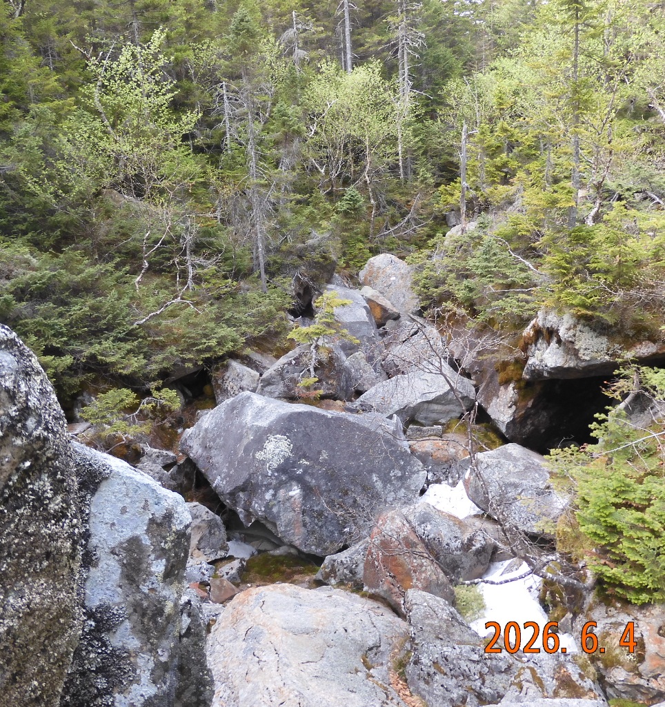 |
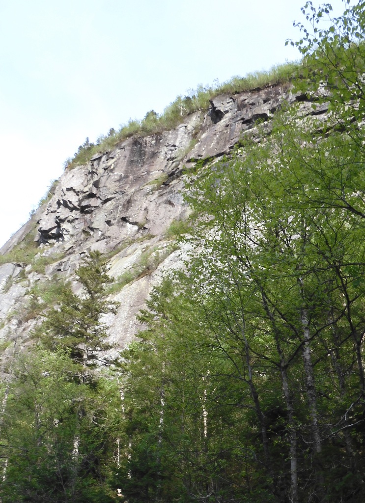
| Yes. This is the trail in Mahoosuc Mile. Normally, you can choose to go under, over or around, but not this time. | Mahoosuc mile is passing inside the gorge, and cliffs are full of mysterious faces and characters | Stones, and snow, and ice intermingled on the bottom of the gorge in June. You are going from hot to cold zones and back endless number of times. |
17:21 – 17:25 finally, ooh finally, I have arrived at the south-west (upper) terminus of Mahoosuc Mile. It was tough, it was dangerous, and it is now getting late. So, there is no time to relax. I need to start scrambling back right away. This time it will go imperceptibly down.
Going back is much easier mentally as you are going “home” towards the camp. On the way back I mentally marked sections as trail constantly changes. I named 30 different sections but now I remember only a few: 1- entrance, 2- step into snow, 3- take a break, 4- narrow uneventful, 5- west gray great wall, 6- arc that can be avoided, 7- east sheer cliff with overhangs, 8- take a break (normal trail), 9- cold and stone prison, 14, 15- arches, 18- take a break by the side, 19- hopping from boulder to boulder, 22- ice shawl, 24- avoid the giant boulder.
18:23 unexpectedly for myself I exited the Mahoosuc mile with my legs still intact. The exit is marked with a sudden surprisingly flat section – maybe 30 yards, almost like a road with bright green Skunk Cabbage decorating the “sidewalks”. Now I crosse the Mahoosuc mile 6 times in 2017, 3 times in 2022 and 2 times in 2026.
18:38 I arrive back at the camp for tonight. Hiked today was 7.19 mi in almost 12H. I will remain here and will not move down to a more adventurous spot near the river that I discovered earlier. Again, I am completely alone in the forest.
The camping stop here is large flat and convenient with enough room for about 6-8 tents.
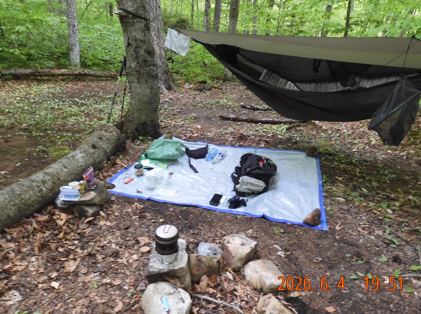
19:43 the hammock is set. The water is boiling. In the pot Good-to-go Mushroom Risotto with added olive oil, grape nuts and a nut mix.
19:54 I must use a mosquito net – the black flies are unrelenting. I am completely clothed, even gloves, but it is a warm evening.
 |
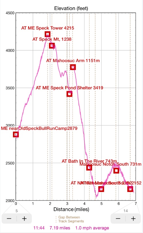 |
| Camping with cooking, dining and sleeping areas. Well organized and efficient. No time to loose. Every moment counts. | Only 7 mi today including Mahoosuc mile twice |
20:08 boil the third helping of tea. I am wearing a mosquito net even when I am eating and drinking.
21:07 finally I am in my hammock. Sent a satellite message to Lira. It is warm and quiet in the forest tonight. No one around. And for the whole day I met only 7 people in 5 groups. There is at least one black fly inside the hammock. Ok. I’ve got them both with one finger.
21:31 I am in comfortable position to write with a big lump of clothes under my head.
21:44 ear plugs in, starting to cuddle into my bag – time to go to sleep. It was a long 16H day.
Navigate through the List
- 01 2026-06 Preparation for a third trip (2026/06/02)
- 02 2026-06-03 WE - Private Mile Notch Rd. to Grafton Loop Trail (2026/06/03)
- 03 2026-06-04 TH - from Old Speck MTN over AT to Mahoosuc mile (2026/06/04)
- 04 2026-06-05 FR - local shortcut to Bull Branch and alternative roots (2026/06/05)
- 05 2026 06 Lessons for all three May-June trips (2026/06/06)
- 01 2026-06 Preparations for the fourth trip (2026/06/26)
- 02 2026-06-27 SA bike fast without rucksack, hike slow without gusto (2026/06/27)
- 03 2026-06-28 SU Fourteen miles in fourteen hours over Mount Washington (2026/06/28)
- 04 2026-06-29 MO - up to Mount Madison and down to the car (2026/06/29)
- 05 2026-06 Epilog - bite the bullet and do it (2026/06/30)

Be the first to comment