Summary: Hike 4 mi on AT, then 3.6 mi on forest roads and bushwhack the last mile back to the bike. Then 15.8 mi on the bike toward car.
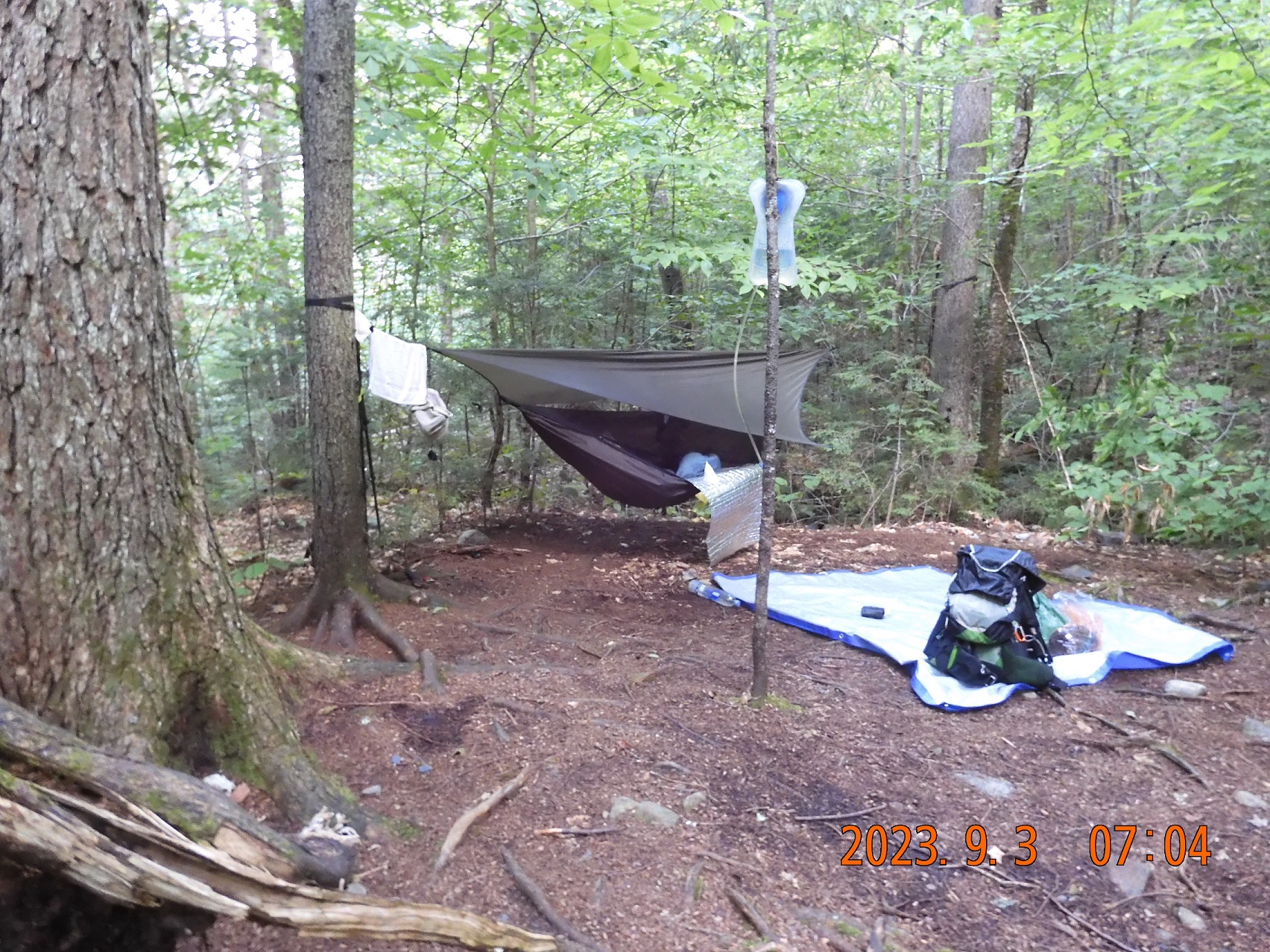
06:56 woke up an hour later than previous mornings. This is one more advantage of sleeping a good distance away from the shelter – other hikers do not interfere with your sleep.
07:00 This morning I put on all new things: a new shirt, underwear, socks. Only the pants are the same.
 |
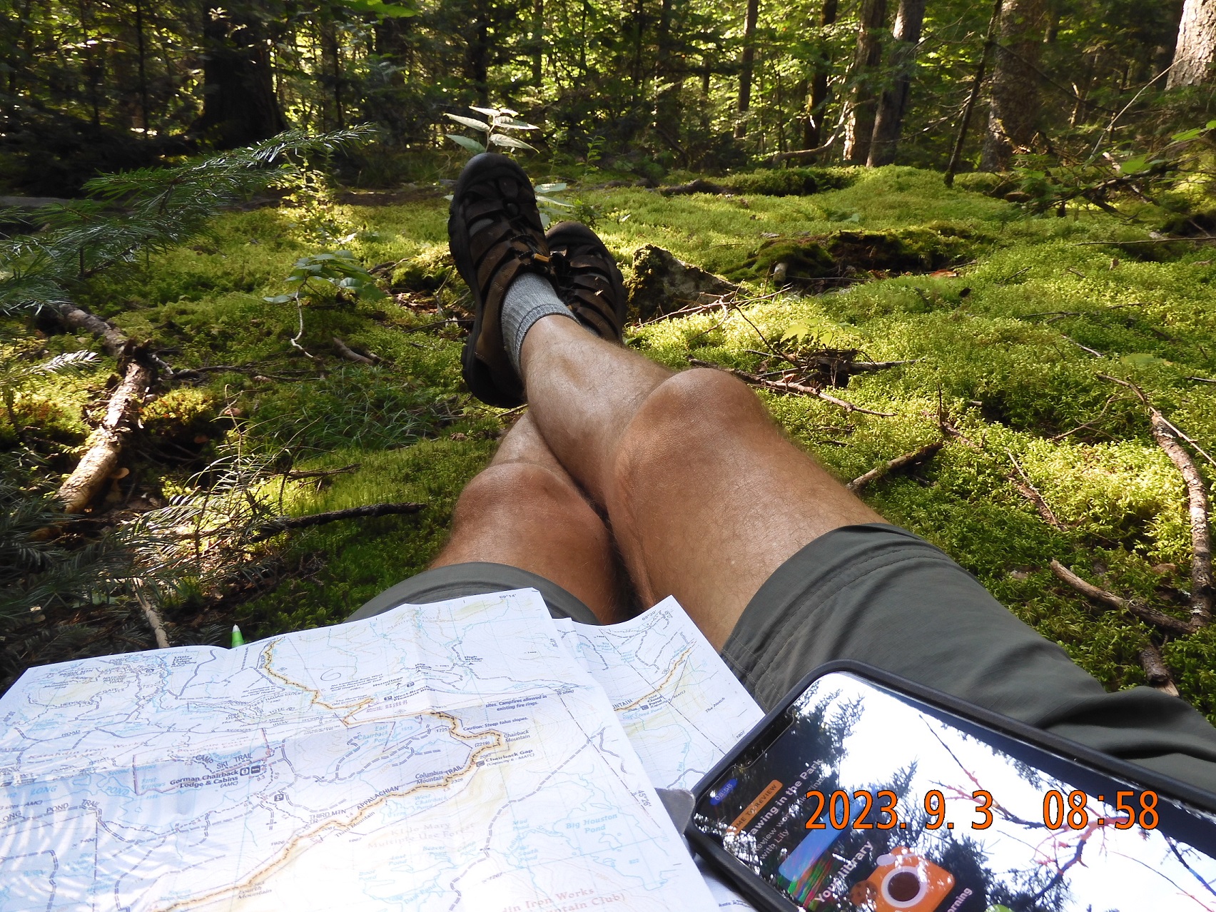 |
| Breaking the camp number 3 next to Wilson Valley Shelter at 7AM. Gorgeous weather. | Catch a cell signal, surrounded by maps and images from Google, planning the next steps |
08:22 depart for a trail. First a quick climb up, then weave around the bog
08:58 – 09:23 I caught a cell signal and piecing together maps and views from several sources. In 3 mi I will turn away from AT to a forest road that should take me towards the bike. Today is warm enough that I even need to use bug spray. I am using gloves to spread the poison over my skin, so that not to tough it with my fingers.
11:22 I am at a river crossing only 0.7 mi from the road. I washed black cool t-shirt and put it on over another shirt for drying. Some hikers that are passing by are familiar from yesterday. I filled up both water bottles in case there would no water available along the forest roads. And there is one more water bottle is at the bike. iPhone changed 79% and spare battery is at 45%.
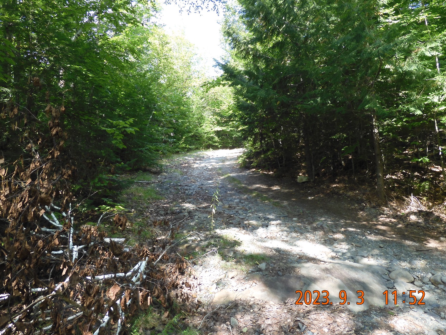
11:52 the road is here. A narrow, a bit overgrown, but totally passable road goes up to the North and down to the South.
12:56 Barren Mtn. Rd. – after an hour of walking I’ve reached the wide maintained logging road that for sure will reach the main road, but I will not take it to avoid unnecessary extra miles. Instead, I will continue straight toward less certain, but more direct route.
13:04 another fork on the road. I navigate rather confidently using screen shots taken from Goole satellite map.
 |
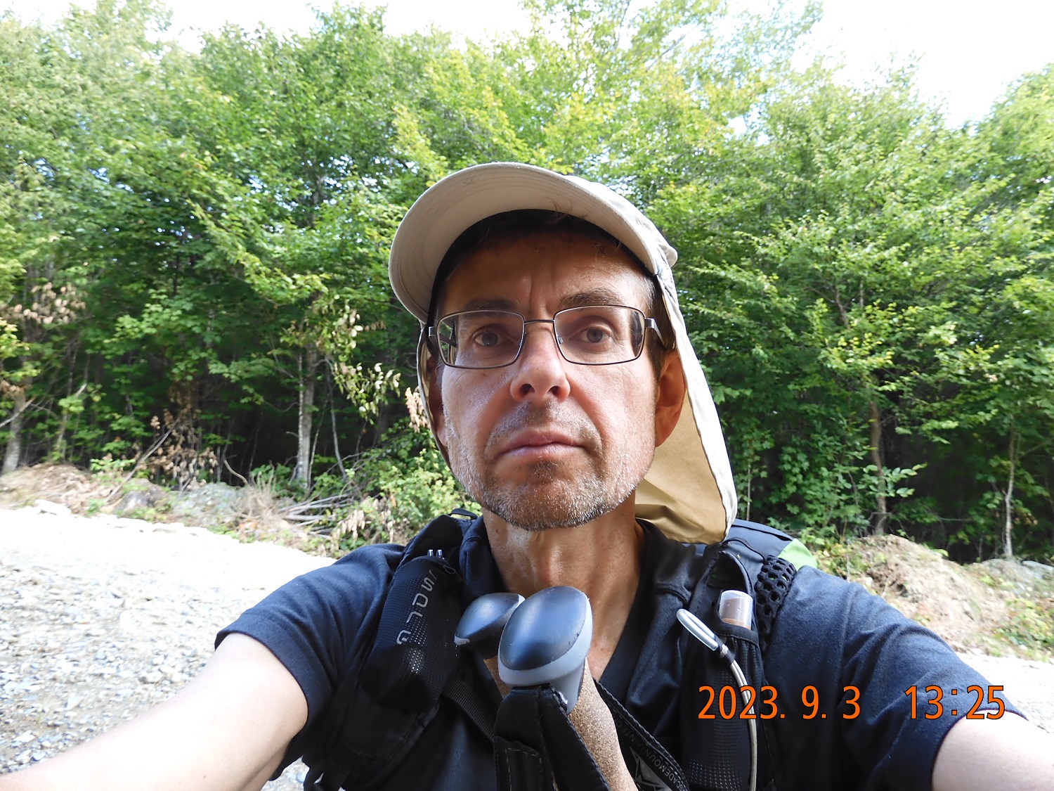 |
| Here is my forest road off AT. If I planned it correctly, I might be at the bike in 3 hours. | Just sit on the road and rest. Hour and a half into the walk – everything goes according to plan. |
13:25 – 13:47 I’ve reached a true real and sudden dead end of a good wide maintained forest road. The dead end is as real as a street dead end. To continue further North, I would need to bushwack towards something that a long time ago was a road or a trail, or a power line. Something. But that something goes directly to my hidden bike. So far, in 2h 16min on the road section I advanced 4.28 mi with an average speed of 2.5 mph. Total hike is 41.57. Today’s total hike so far is 7.46 mi. Let’s do the last push to the North.
First 0.23 mi I am struggling through a dense mix of bushes, but it is not wet, and it is not a bog. Finally, I see that there is absolutely nothing waiting for me where I am waiting to find something. I can see some pink ribbons on the branches that mark either border or an indication for a future clearing. There is some old forgotten rut that might have been a road dozens of years ago, but now it is a dense mess of bushes and puddles of water. It is easier to move forward in the forest as trees are spread apart here a bit compared to bushes grown on the former road. I am crossing back and forth a few times to try to find something that could be used as a path. I am not lost at all. GPS shows that I am precisely where I need to be, and I know exactly the direction I need to move to. The next obstacle is a swamp. Oh well, as expected. Now I need to swerve even deeper into the woods to bypass the murky waters. But still, I am slowly advancing. By 14:09 – 22 min into the track – the path is getting more defined and pronounced. I can walk almost straight, almost unobstructed. There is no footpath, not even a game trail, but the former road is clearly defined, the hanging branches are not obscuring the road clearing, and the grasses are not too tall.
14:24 I can see a car crossing my line of vision on the main road. I did it! After about a mile (1.09 mi) or 46 min of uncertainty I certainly did it. I am back at the road where my bike is hidden. How close to the bike I emerged? So close in fact, that it is even strange. I am on the road within 100-150 yards of the hidden bike. I didn’t even notice that there was something of a side road skeleton when I was hiding the bike a few days ago.
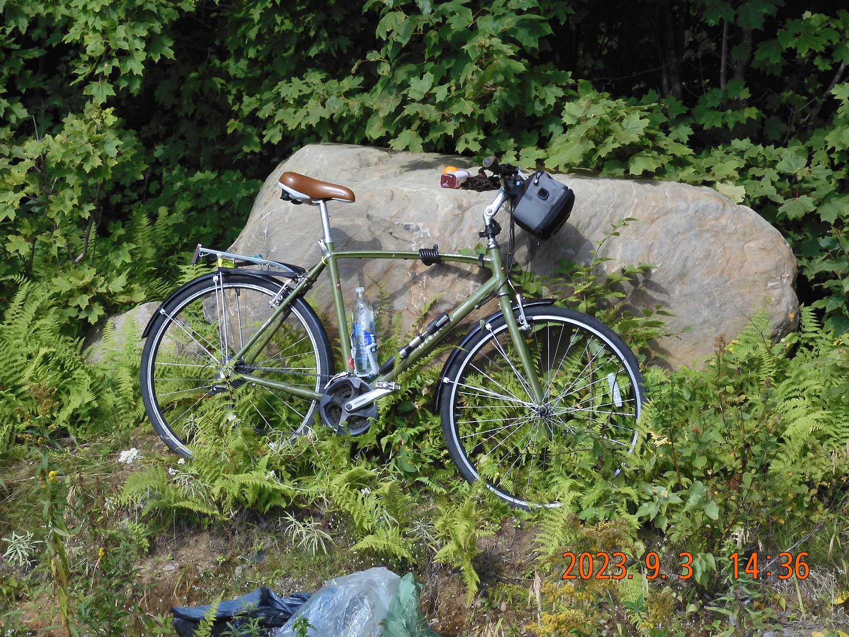
Extracting the bike, the bike seat, and the bike bag, attaching the backpack to the back of my bike, checking tire pressure. Here, in the bike bag I have a bottle of coconut water and a clementine. All the fruits in my backpack are already consumed at this point.
14:45 – a spam call passed through despite a very weak signal. Sorry, I do not have time for a survey right now. I am sending a message to Lira. The total hike was 42.67 mi and today’s hike – 8.55 mi.
15:09 start a 39 mi track back to the car. It will take me today and part of tomorrow to get back to Moxie Pond parking where the car is located.
15:31 – 15:55 – first 2,74 mi completed on the bike with 6.6 mph. I am at the Indian Pond where last pictures of the day are taken. The swim here is uncomfortable. The bottom is unstable, and tons of debris lift of from the bottom on every step. The pond is very shallow, my legs are deep in the mud, air bubble rising furiously through the water. We are not welcome here. You can’t washup and water is full of disturbed particles from the bottom. Not pleasant at all. But still – it is an experience.
16:53 I’ve reached the paved section in Greenville by the airport.
17:03 – I am in downtown Greenville, and the Northwoods Outfitters Moosehead Lake are just closing.
 |
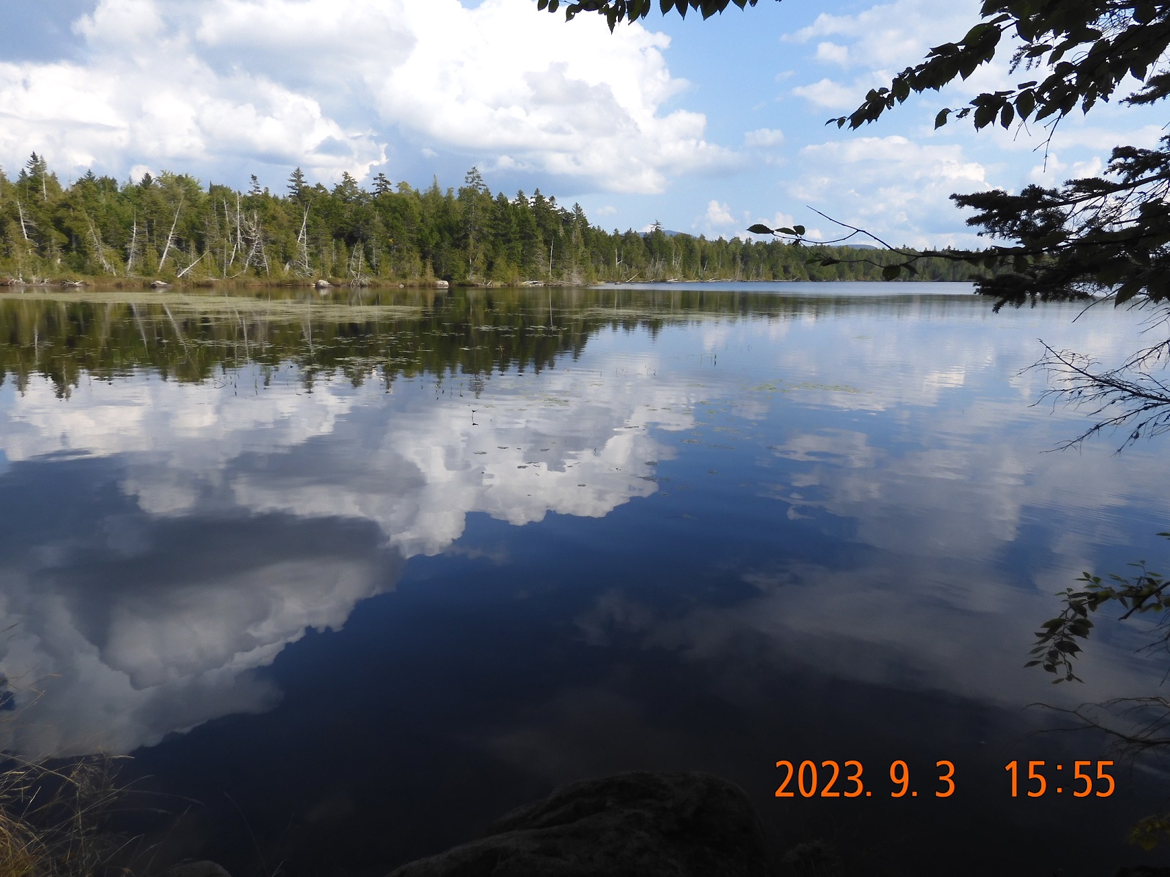 |
| Bike and provisions are there. Attach saddle, backpack, and off we go on a familiar route. | A bit over 2 miles into the ride – Indian Pond. It is to shallow and unstable to swim or to wade. |
17:17 – I’ve crossed the river at Greenville Junction, turned into Depot St. and shortly after on Dyer Rd. (almost missed the turn).
It is time to think about the camp.
18:44. After several attempts and exploratory side ventures, I finally picked an overgrown side road blocked by boulders. Perfect! I set up a camp about 50-80 yards into the forest where I still can hear the occasional passing cars (none at night), but I can’t see them. There are plenty of mosquitoes, and it is hard to find a large enough clearing for the camp.
+19°C. I’ve completed 15.82 mi on the bike and 23 more mi remains for tomorrow.
There is now water here, but I have about 2.5 water bottles with my for cooking, for the tea, for drinking during the night and to start me off tomorrow.
20:36 I am safe inside the hammock. There is even a super weak cell signal here. Two bars LTE. In two hours my Duolingo tournament ends, and I am on the 22nd out of 25 good places two long hours before the final tally. iPhone battery is 76%. There are plenty of forest life sounds around me: singing, running, climbing, flying, stomping. At one point, I could hear some forest creature running fast through the forest, then suddenly stopped nearby puzzled by the sight of my hammock with a light inside, and then slowly continuing to explore closer and closer. I do not know what it was, but recognize the pattern of sounds, pauses, cracking branches and finally a retreat into the darkness. But I am too tired to let my imagination go wild. I’ll see you tomorrow.
Navigate through the List
- 00 AT 2023 Sep - Preparation for the trip (2025/08/30)
- 01 2023-08-31 TH - Taking on wilderness one mile at a time (2025/08/31)
- 02 2023-09-01 FR – The same AT section with a new attitude (2025/09/01)
- 03 2023-09-02 SA – the Wilson Falls are spectacular (2025/09/02)
- 04 2023-09-03 SU – take a raw shortcut to the bike (2025/09/03)
- 05 2023-09-04 MO - crisp morning ride all in one sitting (2025/09/04)
- 06 Summary of the September 2023 trip (2025/09/05)
Be the first to comment