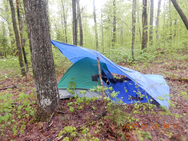
Rain all night, but I am dry in the tent. Raindrops from the trees still pounding on the tarp, but earplugs softening the noise.
05:55 Awake, but it is raining. Decided to continue to sleep
Very slow morning – no reason to venture out while it is raining.
07:55 Wake up, but it is till raining. Decision is to wake up anyway and eat cantaloupe. Melon stated behind in the car. I know, I am roughing it in the wild.
My tarp is leaking and water was accumulating all night on the lower good tarp that serves as a floor in front of the tent.
It is very unpleasant to put on wet cold socks and boots from yesterday. Everything else is dry. I put on yellow poncho and get out.
I spread good (floor) tarp over fallen trees and started my breakfast a good 3 feet off the ground. Breakfast – first small cantaloupe, cut with machete – nice cut. Advantages: no mess in the tent, ground takes cantaloupe seeds and crusts.
While rain subsided, I did modifications and repairs to tarp. I raised it slightly using poles sticking from the ground. I distributed weight from most crucial top tarp grommet into several grommets.
Plan for today – Mt. Cabot. It means back to the car and drive 15 miles to the most popular trail in the region. How many people would I encounter?
10:53 Departure from Camp Rain The river that yesterday I crossed over some logs today is raging and it is very hard to cross after many hours of rain. I almost decided to change the plan till river subsided.
I actually started back for tools to build a bridge from freshly washed away trees all tangled all over the river. But on the way back I found a place to cross about 200 yards away from the road. It means complete wild bush on the other side. To get back to the road and the bike I need to go over some wet and wild bushes. Boots are completely wet from the grass. My new boots are NOT waterproof at all.
 |
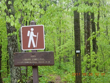 |
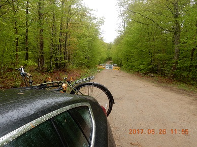
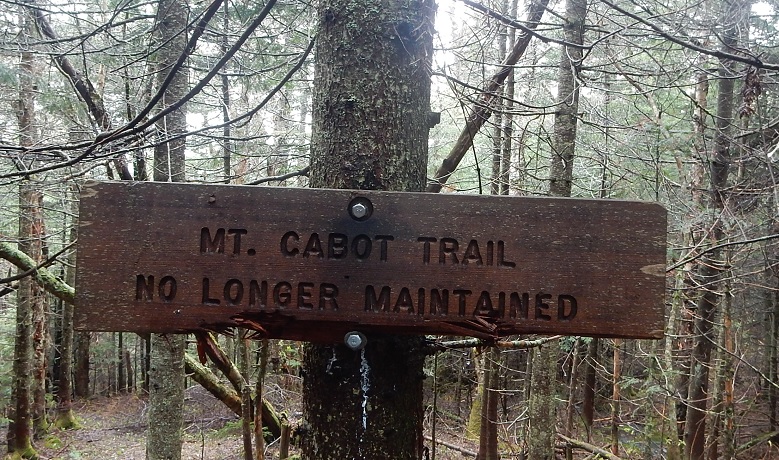
| 11:55 – bike to car – +9.0°C – odometer 202.5. Bike was all wet. Saddle is wet, front bag for tools is all wet. | 12:01 Landing Camp Tr. – this is the last maintained trail in the Bog Dam Road loop. White sign on the tree warns that Upper Ammunoosuc Tr. is no longer maintained. |
Near Landing Camp Tr. (less than a mile away, 0.8 mile)I decided to use my water filter for real for the first time. I am attaching plastic bottle with river water and clearly see washer with screen that we bought with Lira just weekend before at Home Depot ($2.27 for 2). Now water is filtered, ready to leave, but the washer is gone! Where is it? It is my first morning, and so unpleasant to start with a tiny loss. I gathered my mental capacities and without moving my feet much, tried to survey few paces that I was rumbling about between river and a tree. And I found it. It was right there on the ground between last year leaves. Miracle one. The whole search could not have been for more than 2 minutes, may be few seconds, but effect was powerful. “I am on the right track. I am OK.” This small black washed could have just float away in the river, but it fallen into the ground.
12:38 cell signal re-appeared. Received a message from Lira from yesterday evening (19:00). Replied with an image of my current position from GPS App.
Much more attractive option a straight like an arrow path over water pipeline. I did not examine it closely, but it wide, obviously maintained and clearly visible for as far as eye can see.
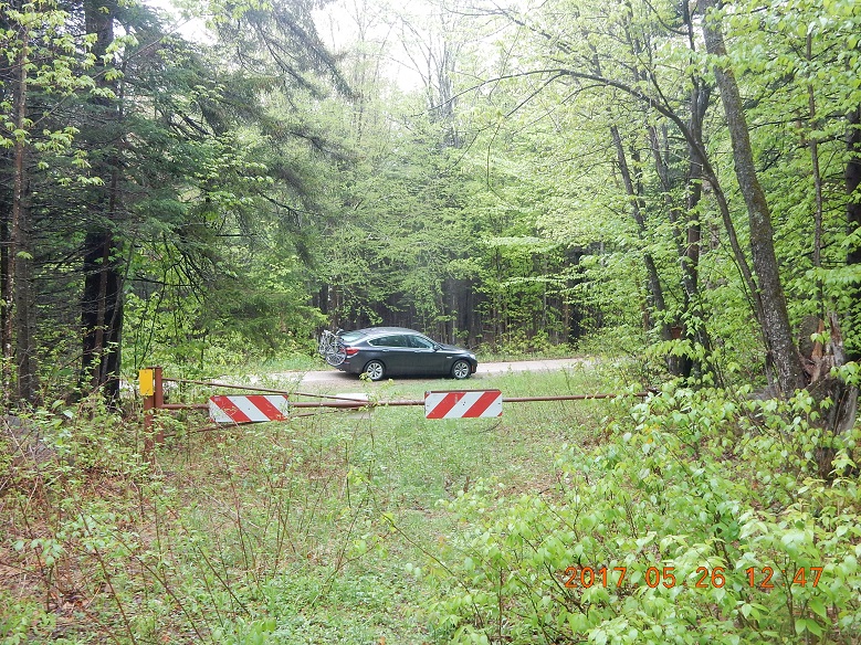
13:11 – note that gate at western leg of BDR is still closed immediately off main York Pond Road
13:43 – Only one other car at the trailhead. Start my first hike on Bunnell Notch trail towards Mt. Cabot
Rain just stopped. I’ve met only one other hiker on the entire trail.
Trail is wet. Eat trail mix.
I found first crooked, but very flexible walking stick. It will travel back home with me in a few days.
 |
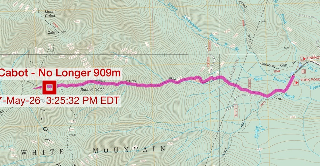 |
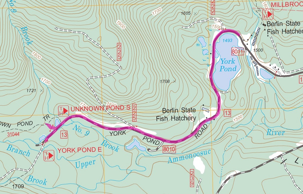
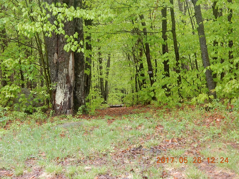
| Use York Pond Road to approach the trail head. It is ends here | Bunnell Notch Tr – gentle accent on unremarkable path |
 |
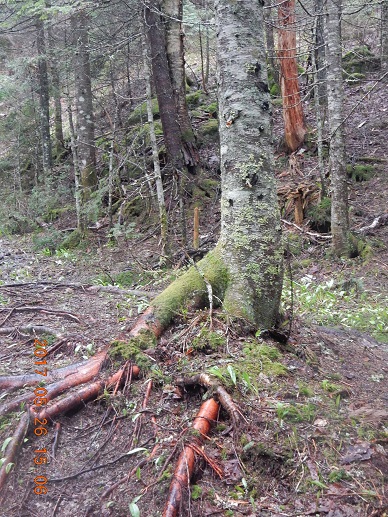 |
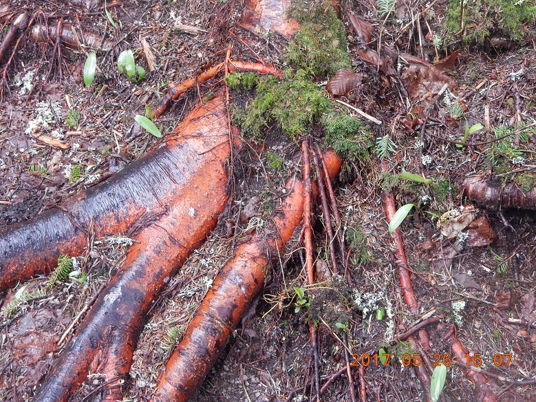
| 15:07 What are these? | 15:08 These are exposed tree roots. |
15:28 Time to turn back – 1.7 miles remain to Mt. Cabot
 |
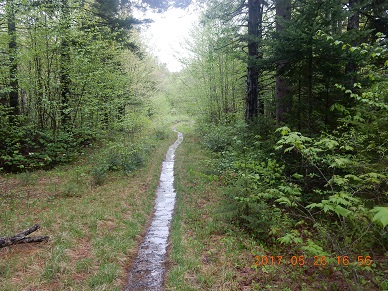 |
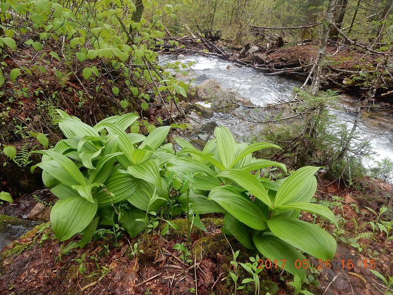
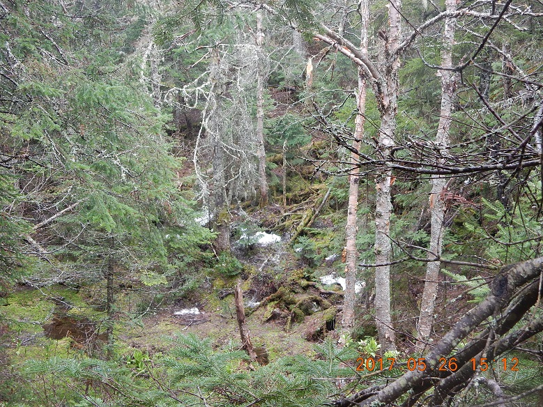
| Very bleak and unremarkable trail. But these succulent greens stood out on a earthy background | 16:35 Descent ends and road section of the trail starts. Cute trail is covered with water here. |
On the way up I made several mental time-distance markers on the trail. And now, coming back my calculations show that I could be back to the car as early as 16:48.
16:57 Back to the car and then drive back to camp. Gates of fishery are still open and will remain open till June.
19:16 Cooking. Procedure is messy, as you need to squeeze peanut butter from a pocket that doesn’t want to be squeezed.
21:15 – 21:59 – write these notes into Journal
Navigate through the List
- 01 NH Trip May 2017 - Preparations for the trip to Bog Dam Road (2025/03/09)
- 02 Thursday, May 25 - Drive, Search, Camp and Rain - Perfect! (2025/03/10)
- 03 Friday, May 26 - Remarkably Unremarkable Bunnell Notch Tr. to Mt. Cabot (2025/03/11)
- 04 Saturday, May 27 - Visibly Invisible Trail (Hunters Pass) to Ice Gulch (2025/03/13)
- 05 Sunday, May 28 - Relax to Unknown Pond (2025/03/14)
- 06 Monday, May 29 - Mud, jaws, bridge and rain (2025/03/15)
- 07 Tuesday, May 30 - We are so distracted by day job from our trail lives (2025/03/17)
- 08 May 2017 Bog Dam Road trip - Lessons learned (2025/03/18)


Be the first to comment