 Device comes with US map preloaded. To start using it, no subscription is necessary, but you might want to keep buying map updates. Device starts telling you that you map is over a year old – it is time to buy an update.
You can install free internal software updates (firmware) through provided USB cable. When connected through USB cable (for charging for example), you can NOT use the device. You can see the content of you GPS unit as a hard drive on your PC.
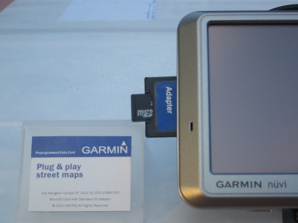
Device has a SD card slot to add more maps (like Europe – $50 -$100) or music (MP3), or photos, or books on tapes. According to Garmin, there is no limit to size of the SD card that you use with the device, if you keep updating the firmware (free software).
Can simulate a drive from any point to any point – no satellite connection is needed. Use this trick to place you vehicle, where it is not. Turn off GPS and put the device into Simulation mode. Go to Menu — Where To? — Select any of provided shortcuts or just enter an address — Show Map – Click and hold Set Location button.
Have some points of interest pre-loaded – restaurants, post offices etc. If you press on the map on some places around you will show you sometimes Name, sometimes Address, sometime nothing.
Shows allowed speed, next turn, trip info, allows zoom-in and out, allows having 3D and mapping view, gives voice instructions (usually voice of angry wife).
Unit supports all major European languages. Includes a demo version of word and phrases translators.
On eBay you can buy and sell current SD cartridges with additional maps as long as they are not a pirated copies.
Press and hold battery indicator sign. A specification screen will come up. Keep pressing “Down” button to see an interesting test and screen saver screens.
[2011-07-09 SAT] You favorites are stored in X:\Garmin\GPX\current.gpx file in XML format.
[2011-10-06 THU] Take the device with you on a hiking trip. Even without TOPO maps, keep saving your current location at a regular intervals. Include the date, time and elevation in the name. Yes. the unit can tell you the approximate elevation. Later, you will be able to review your trip using saved points, and your trace will help you to better visualize missed turns and future exploratory endeavors.


Sometimes in the morning my Garmin nüvi 750 is getting confused by shifting car position some 50 yards to the left.
Sometimes it doesn’t know local mountain road. That happened to us once, again in the morning. But in the afternoon on the way back the road was there on the screen and calculations were correct.