- This topic is empty.
-
AuthorPosts
-
2020-08-31 at 10:44 #7961
Udar Gromov
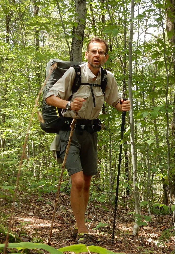
KeymasterSummary: it was raining all night and when I departed in the morning it begins to rain again. But it stopped quickly, and day turned out to be very good. About 3 I have reached my planned Stony Brook shelter but continued till I have reached Thundering Falls and the bike just after 6 PM.
06:04 – wake up at the attic in a Lookout Farm. Rain was on all night, and I did not hear anyone go in or out.
I did my breakfast and all the packing upstairs and I was ready to depart first. Rain seems to stop for a bit.
Hiking sector 1 – 07:40 – 09:23 = 1:42 1.83 mi (1.7 mph) – from Lookout Farm to newly name by me Rain Point (2,666′)
07:43 start hiking southbound towards a road with long Indian name. My water is low, but I will be good for a couple of hours.
Heavy rain resumes almost immediately, and I am in a rush to put on yellow poncho. Meanwhile, I found a long-forgotten song 10 o’clock postman by “Secret Service”. I had that song on cassette in 1988, but even now can understand the words only with web help. I though the song was about come exotic island somewhere in Caribbean, but it was about burning need to hear from a love connection by mail. Not the same thing with emails and texts.
09:30 – a small stop. It was a clearing in the brush, and I could remove my rain gear. Sun is fighting its way through the clouds.
Hiking sector 2 – 09:47 – 10:52 = 1:04 1.27 mi (1.6 mph) – from nice unnamed hill down to a colorfully named Chateauguay Rd. in Bridgewater, VT
09:55 – first small brook after over 2 hours of hiking. I will skip.
10:10 – small real brook with real water flow. Here I would refill all my bottles with filtered water.
10:59 – I am at Chateauguay Rd. Here it a very quiet, but clearly maintained and utilized gravel road. I cannot find a lot of history behind the name Chateauguay, except that the name originates in France.
Sign shows 3.9 mi remains till next shelter.
Hiking sector 3 – 11:07 – 12:31 = 1:24 2.08 mi (1.6 mph) – from Chateauguay Rd. to an active forest cutting site.
 Here I stayed sitting under remaining few trees, making chess moves and inhaling aroma of dead dried branches with leaves. Initially, I could not understand the origin of the smell, but eventually I linked the smell with dried birch bunches used in Russian steam bath houses. Yes. The smell not only familiar, but also intoxicating and pleasant.
Hiking sector 4 – 13:28 – 14:45 = 1:16 2.16 mi (1.8 mph) – from logging site to Stony Brook Shelter
14:14 – crossing footbridge and forgotten Stony Brook Rd. –
14:32 – trail climbs up on a ladder. Yes. There is an actual aluminum ladder attached in place with ropes. One of a kind.
14:40 – sign to Stony Brook Shelter
Here I change all my clothes for a dry set. Day turned out to be nice and warm.
Hiking sector 5 – 15:21 – 18:16 = 2:55 4.86 mi (1.9 mph) – from Stony Brook Shelter up and down to River Rd. and Thunder Falls
Sing shows 4.3 mi to my destination – River Rd. and Thundering Falls.
17:01 – crossing rough unnamed road and a power line shortly after
18:00 I am at the River Rd. parking lot. Let the boardwalk to the falls begin.
18:07 falls are surprisingly tall and abrupt for such a flat area. Water makes a last fun jump and turns into quite flat valley waterway.
18:13 the Thundering Falls Rd. I was here 3 days ago on Thursday. The sing advises that starting in 2007, there is no camping between River Rd. and Thundering Falls. Seem logical, as this would be too close to ware, to the road and to other people’s properties.
18:16 – found my bike all in one piece. I moment of panic when I could not find my camera. OK. Left it on a stone just a few paces back while trying to pick up the saddle and my bike bag.
18:43 – it is not hot at all, but body need to cool off after grueling 12 miles hike. Found a spot secluded enough to jump in the water without any coverings.
19:43 – camping and cooking a bit late today due to later arrival. But hiking porting of the trip is over. Mosquitoes are very active because it will be a warm night. Today tea and Patagonia Provisions Green Lentil soup. Bike is parked right next to me. There is plenty of water in the bladder.
20:50 – last picture of the day – hammock is ready for the guest.
21:12 – yes. Very warm night. But mosquitoes can get to me here inside the hammock.
Hiking summary – 07:40 – 18:16 = 10:36 or 12.23 mi – (1.7 mph)
-
AuthorPosts
- You must be logged in to reply to this topic.